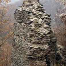
Skoparnik, Mountain summit in Vitosha, Bulgaria
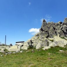
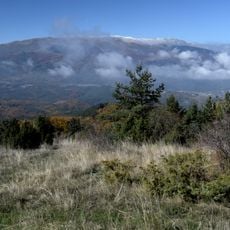
Skoparnik is the third-highest peak of Vitosha at 2,226 m, standing 1.5 km south of Golyam Rezen Peak and 2 km southeast of Cherni Vrah. It is built of monzonite weathered at the surface, with gentle slopes and ranker soils. The Bistrishko Branishte Biosphere Reserve lies at its northeastern foot, and a prohibited drinking-water catchment area borders its western side.
This peak marks a natural watershed boundary separating two drainage systems with different destinations. Eastern slopes feed into Black Sea-bound waters through the Iskar River, while western slopes drain toward Mediterranean waters.
The name Skoparnik is said to mean "old steep mountain" in Bulgarian. The peak gives its name to Skoparnik Bluff on Trinity Peninsula in Antarctica, a detail few visitors connect with Vitosha. Its eastern slopes above the Bistrishko Branishte reserve feed the Vitoshka Bistritsa, whose water reaches the Danube.
Several marked trails lead to the summit from different starting points including Aleko Centre, Bistritsa village, and Zheleznitsa village. The routes are accessible year-round, though visitors should adjust expectations based on seasonal weather conditions and terrain changes.
Skoparnik Bluff on Trinity Peninsula in Antarctica is named after this peak, a detail most visitors never learn. The name itself comes from a Bulgarian phrase meaning "old steep mountain".
The community of curious travelers
AroundUs brings together thousands of curated places, local tips, and hidden gems, enriched daily by 93,972 contributors worldwide.