Gaspé Peninsula, Peninsula in Quebec, Canada.
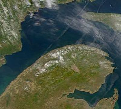
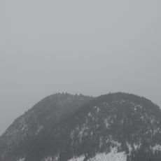
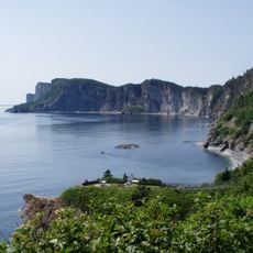
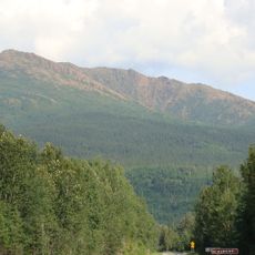
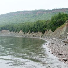
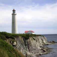
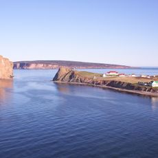
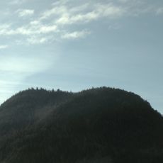
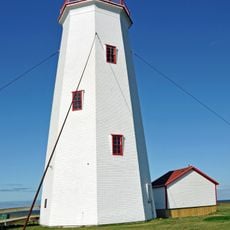
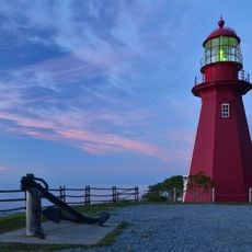
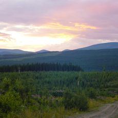
The Gaspé Peninsula is a peninsula in Quebec, Canada, stretching from the Matapedia Valley into the Gulf of St. Lawrence. Along its northern shore, sea cliffs shape the coastline, while inland the Chic-Choc Mountains define the terrain.
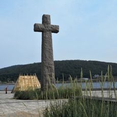
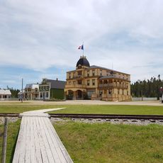
Before European arrival, Mi'kmaq communities lived here and gave the territory its name. From the 16th century onward, French fishermen settled along the coast and founded small harbors around the bay.
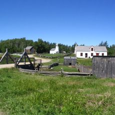
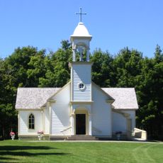
The name comes from the Mi'kmaq word gespe'g, meaning end of the land, showing the original connection of this territory to indigenous peoples. In the coastal communities, many French-speaking residents still live here, and their daily life is shaped by fishing.
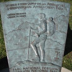
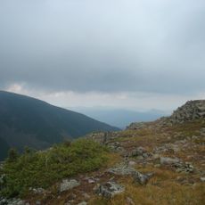
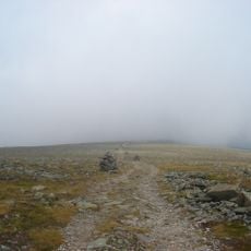
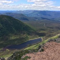
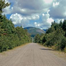
Route 132 runs around the entire coast and connects all communities. From this road, paths lead inland where hiking trails run through the mountains and along the cliffs.
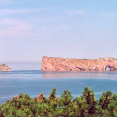
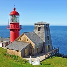
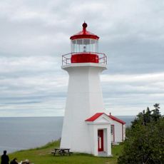
On Île Bonaventure near the well-known Percé Rock, the largest northern gannet colony in North America nests with more than 200,000 birds. The birds return every spring and cover large parts of the island during the breeding season.
The community of curious travelers
AroundUs brings together thousands of curated places, local tips, and hidden gems, enriched daily by 60,000 contributors worldwide.