Boundary Waters, Lake network between Ontario and Minnesota, United States and Canada.
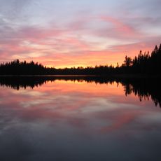
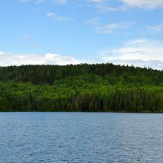
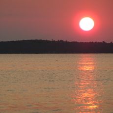
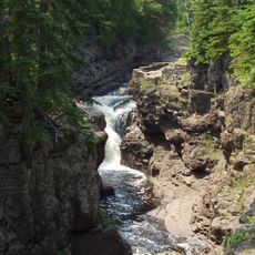
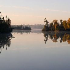
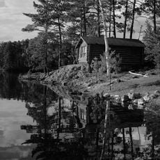
The Boundary Waters is a network of interconnected lakes and rivers spanning roughly 250 kilometers along the Ontario-Minnesota border. The landscape consists of waterways of varying sizes creating bays and inlets, surrounded by dense forests on both sides.
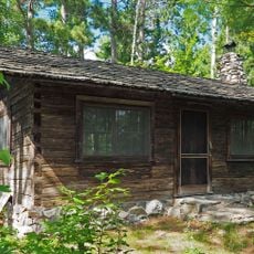
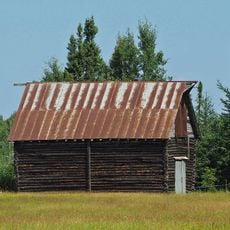
These waterways became the main fur trade route during the 18th century, with traders moving between European settlements and major trading centers. Trading posts were established at key locations including the Pigeon River to support this commerce.
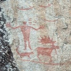
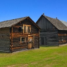
Indigenous peoples have left marks across this land through rock paintings and ancient gathering spots that you can still find today. These places tell the story of how the Anishinaabe and other communities lived here for centuries, using the waterways as part of their daily lives.
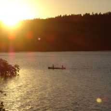
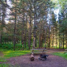
Access to the waterways is available through several entry points managed by parks on both the Canadian and American sides. Canoeing and boating are the main ways to explore, with rental options at numerous locations along the water network.
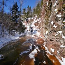
The region contains some of the oldest rocks in North America, dating back about 2 billion years. At Gunflint Lake, visitors can spot traces of ancient microfossils preserved in these old stones if they look carefully.
The community of curious travelers
AroundUs brings together thousands of curated places, local tips, and hidden gems, enriched daily by 60,000 contributors worldwide.