
Ngamring County, county
Location: Xigazê
Website: http://xzar.gov.cn
GPS coordinates: 29.29829,87.23166
Latest update: March 4, 2025 23:11

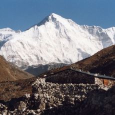
Cho Oyu
144.9 km
Shishapangma
176.3 km
Sakya Monastery
88.1 km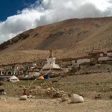
Rongbuk Monastery
129 km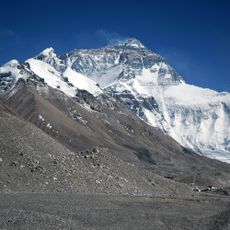
Rongbuk Glacier
137.9 km
Labuche Kang
140.3 km
Labuche Kang III/East
138.4 km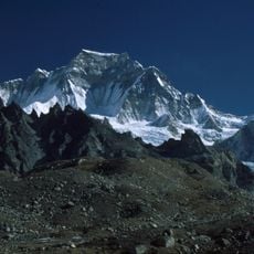
Gyachung Kang
141.8 km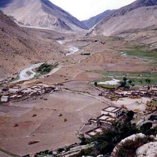
Milarepa's Cave
167.7 km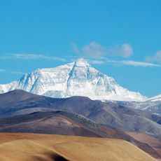
Qomolangma National Nature Preserve
131.2 km
Molamenqing
173.9 km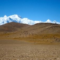
Langtang Ri
182.1 km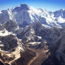
Nangpai Gosum
149.2 km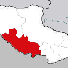
Rikaze Diqu
40.7 km
Qomolangma National Park
139.9 km
Lunpo Gangri
260.7 km
Kangpenqing
184.1 km
Dragmarpo Ri
187.6 km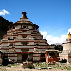
Jonang Monastery
74.6 km
Shelkar Chode
70.9 km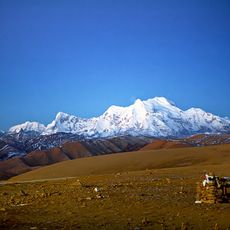
Gurkarpo Ri
186.7 km
Lapche Kang II
141.8 km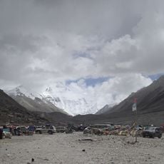
Everest Base Camp
134.1 km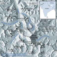
Kellas Rock Peak
135.5 km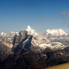
Colangma
143 km
Dzong de Tingri
100.1 km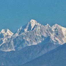
Bhairav Ṭākurā
185.1 km
Kyuṅgāri̇̄
189 kmReviews
Visited this place? Tap the stars to rate it and share your experience / photos with the community! Try now! You can cancel it anytime.


Discover hidden gems everywhere you go!
From secret cafés to breathtaking viewpoints, skip the crowded tourist spots and find places that match your style. Our app makes it easy with voice search, smart filtering, route optimization, and insider tips from travelers worldwide. Download now for the complete mobile experience.

A unique approach to discovering new places❞
— Le Figaro
All the places worth exploring❞
— France Info
A tailor-made excursion in just a few clicks❞
— 20 Minutes