
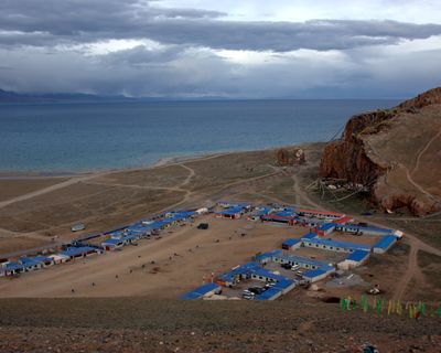
Baingoin County, county
Location: Nagqu
Website: http://xzbg.gov.cn
GPS coordinates: 31.34306,90.16028
Latest update: March 3, 2025 19:38
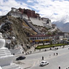
Potala Palace
208.8 km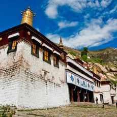
Sera Monastery
205.6 km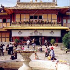
Norbulingka
208.5 km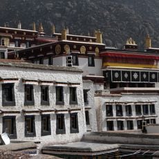
Drepung Monastery
204.1 km
Yerpa
207.6 km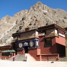
Tsurphu Monastery
184.3 km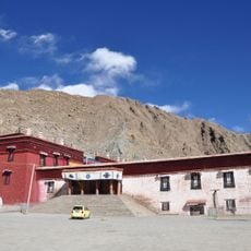
Nechung
204.9 km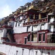
Drigung Monastery
239.2 km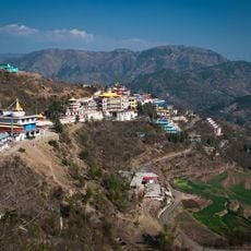
Menri Monastery
219.4 km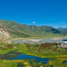
Reting Monastery
173 km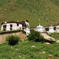
Pabonka Hermitage
202.7 km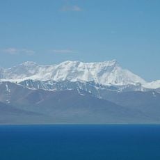
Mount Nyenchen Tanglha
114 km
Chokpori
209.1 km
Kundeling Monastery
208.5 km
Taklung Monastery
166.6 km
Chupzang Nunnery
203.6 km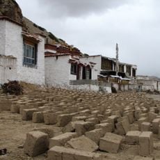
Yangpachen Monastery
152.3 km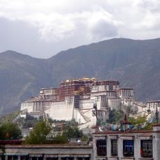
Rakhadrak Hermitage
205.5 km
Sera Utsé Hermitage
204.3 km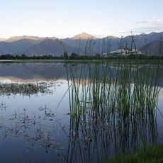
Lalu Wetlands National Nature Preserve
206.3 km
Purbuchok Hermitage
205 km
Keutsang Hermitage
205.8 km
Sera Chöding Hermitage
205.5 km
Nenang Nunnery
185 km
Catholic Church of Lhasa
208.9 km
Jinzhu Xilu
207.4 km
Liuwu Bridge
209 km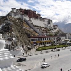
Marpo Ri
208.8 kmReviews
Visited this place? Tap the stars to rate it and share your experience / photos with the community! Try now! You can cancel it anytime.
Discover hidden gems everywhere you go!
From secret cafés to breathtaking viewpoints, skip the crowded tourist spots and find places that match your style. Our app makes it easy with voice search, smart filtering, route optimization, and insider tips from travelers worldwide. Download now for the complete mobile experience.

A unique approach to discovering new places❞
— Le Figaro
All the places worth exploring❞
— France Info
A tailor-made excursion in just a few clicks❞
— 20 Minutes