
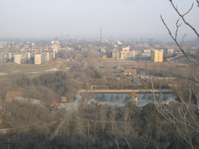
Fengfeng Mining District, district of China
Location: Handan
Inception: 1950
Capital city: 临水镇
Elevation above the sea: 131 m
Website: http://www.ff.gov.cn/
Website: http://ff.gov.cn
GPS coordinates: 36.41931,114.20550
Latest update: April 4, 2025 02:48
Cao Cao Mausoleum
20.5 km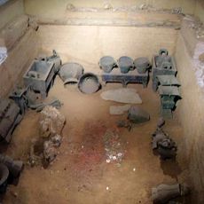
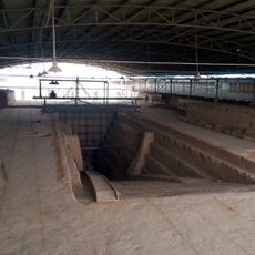
Tomb of Fu Hao
34.7 km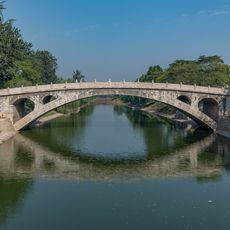
Zhaozhou Bridge
153 km
Red Flag Canal
40.7 km
Cizhou ware
4.1 km
Pagoda of Bailin Temple
156.3 km
National Museum of Chinese Writing
38.1 km
Xiangtangshan Caves
13.5 km
Nüwa Palace
58.2 km
Tiantai An
72.4 km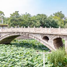
Yongtong Bridge
156.5 km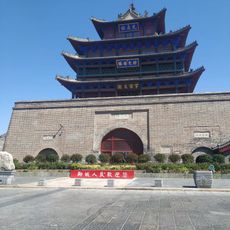
Guangyue Tower
157.5 km
Linglong Pagoda
162.5 km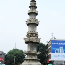
Sutra Pillar of the Song Dynasty in Zhaozhou
156.1 km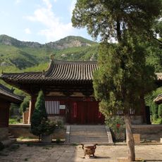
Dayun Temple
68.9 km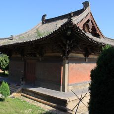
法兴寺 (长子)
126.3 km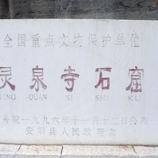
Lingquan Temple Grottoes
43.6 km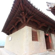
Yuanqi Temple
70.3 km
Pagoda of Xiuding Temple
31.1 km
Xiaonanhai Grottoes
43.2 km
Shanshan Assembly Hall
158.5 km
Jiayingguan
166.3 km
観音堂 (長治市)
103.6 km
Jindeng Temple
64.4 km
潞安府城隍庙
101.8 km
Kaifeng Yellow River Bridge
170.4 km
Dinglin Temple
131.6 km
口上水库
57.1 kmReviews
Visited this place? Tap the stars to rate it and share your experience / photos with the community! Try now! You can cancel it anytime.
Discover hidden gems everywhere you go!
From secret cafés to breathtaking viewpoints, skip the crowded tourist spots and find places that match your style. Our app makes it easy with voice search, smart filtering, route optimization, and insider tips from travelers worldwide. Download now for the complete mobile experience.

A unique approach to discovering new places❞
— Le Figaro
All the places worth exploring❞
— France Info
A tailor-made excursion in just a few clicks❞
— 20 Minutes