Xaidulla, village, historic border checkpoint & campground in Xinjiang, People's Republic of China
Location: Guma County
Elevation above the sea: 3,700 m
GPS coordinates: 36.35200,78.02600
Latest update: March 25, 2025 11:52
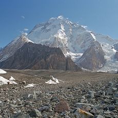
Broad Peak
144.3 km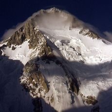
Gasherbrum
138.5 km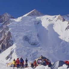
Gasherbrum II
140.1 km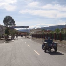
China National Highway 219
115.3 km
Godwin-Austen Glacier
149.1 km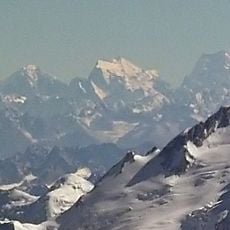
Saltoro Kangri
150.1 km
K12
148.5 km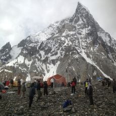
Concordia
151.1 km
Central Karakoram National Park
145.4 km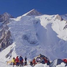
Gasherbrum III
140.9 km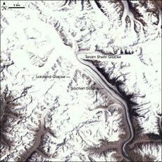
Apsarasas Kangri
120.1 km
Mamostong Kangri
140.6 km
Teram Kangri
121.1 km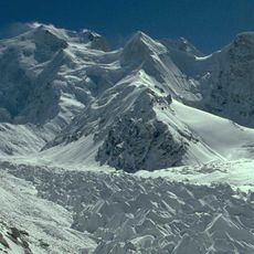
Skyang Kangri
139.8 km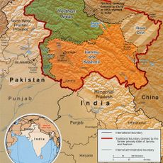
Ghent Kangri
144.3 km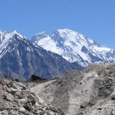
Broad Peak Central
144.1 km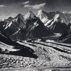
Skil Brum
154.3 km
Gasherbrum V
144.8 km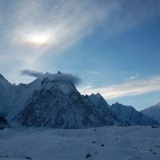
Baltoro Kangri
145.6 km
Sherpi Kangri
148.7 km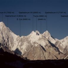
Gasherbrum VI
144.5 km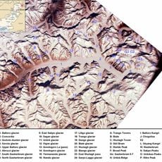
Abruzzi Glacier
143.5 km
Vigne Glacier
140.3 km
Gasherbrum VII
145.3 km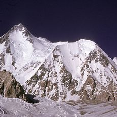
Urdok Kangri
137.2 km
Gasherbrum II East
139.1 km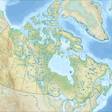
Marble Peak
152.8 km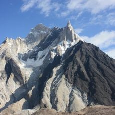
Marble Peak
152.4 kmReviews
Visited this place? Tap the stars to rate it and share your experience / photos with the community! Try now! You can cancel it anytime.
Discover hidden gems everywhere you go!
From secret cafés to breathtaking viewpoints, skip the crowded tourist spots and find places that match your style. Our app makes it easy with voice search, smart filtering, route optimization, and insider tips from travelers worldwide. Download now for the complete mobile experience.

A unique approach to discovering new places❞
— Le Figaro
All the places worth exploring❞
— France Info
A tailor-made excursion in just a few clicks❞
— 20 Minutes