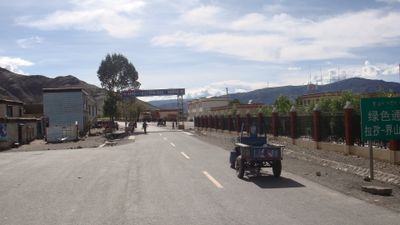
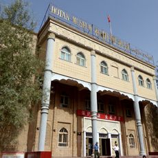
China National Highway 219, Border highway in Western China.
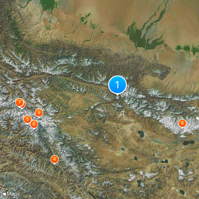
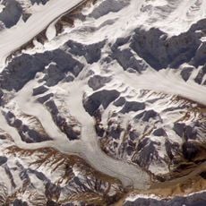
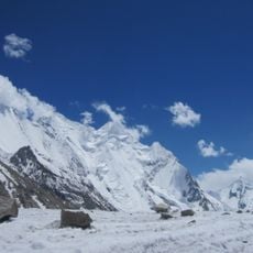
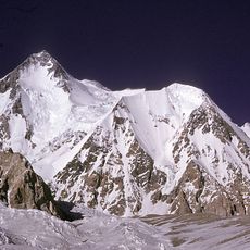
China National Highway 219 is a 10,002-kilometer route extending from Kom-Kanas in Xinjiang to Dongxing in Guangxi, following China's western and southern borders. The road traverses mountainous terrain with numerous high passes across multiple provinces.
Construction of this strategic route began in 1951 and reached completion in 1957. The road later gained importance during armed conflict in the region during the early 1960s.
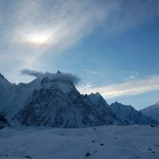
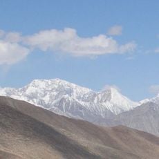
The road passes near sacred Mount Kailash and Lake Manasarovar, where Hindu and Buddhist pilgrims gather for religious ceremonies year-round. These sites attract visitors from many faiths who come to participate in their spiritual practices.
Travelers need oxygen masks and proper equipment when crossing multiple mountain passes above 4,700 meters (15,400 feet), where temperatures can drop to minus 25 degrees Celsius (minus 13 degrees Fahrenheit). It is wise to prepare for thinner air and avoid the route during bad weather.
At its highest point, the road reaches an elevation of 5,394 meters (17,695 feet), making it one of the highest paved roads on Earth. This altitude turns any journey here into a physical challenge for both travelers and their vehicles.
The community of curious travelers
AroundUs brings together thousands of curated places, local tips, and hidden gems, enriched daily by 60,000 contributors worldwide.