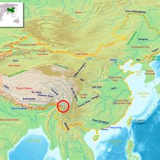
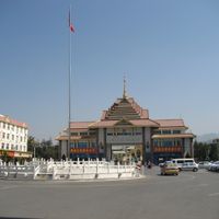
Yunnan, Province in southwestern China.
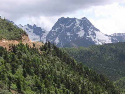
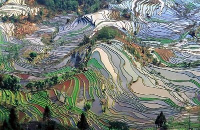
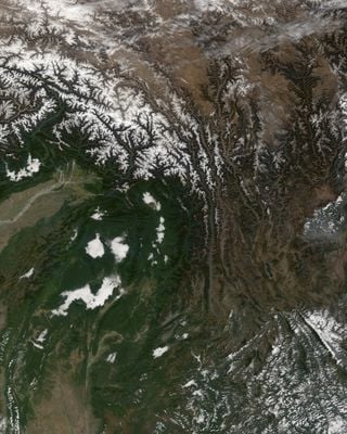
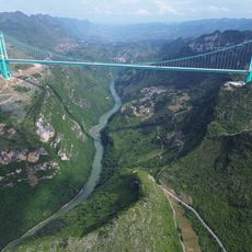
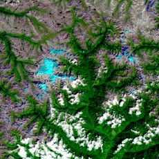
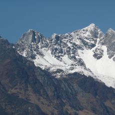
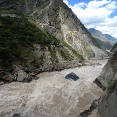
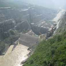
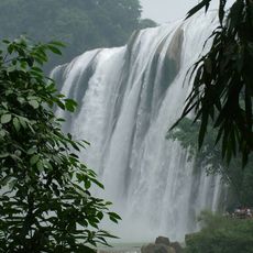
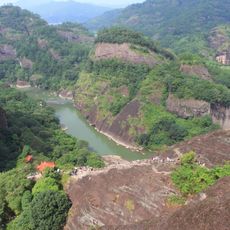
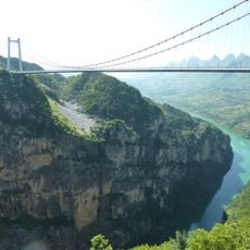
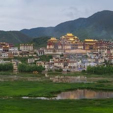
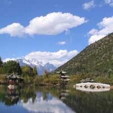
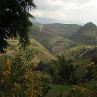
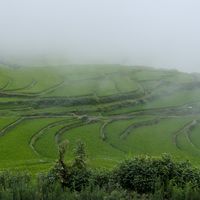
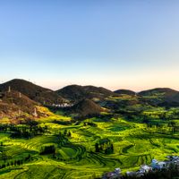
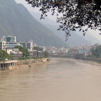
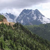
The region covers 394,000 square kilometers and includes mountain ranges, plateaus, and river valleys between Tibet, Myanmar, Vietnam, and Laos. The terrain rises from tropical lowlands in the south to snowcapped peaks in the northwest, with several major rivers running parallel through deep gorges.
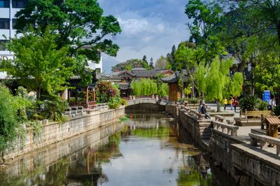
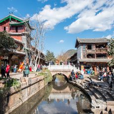
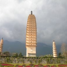
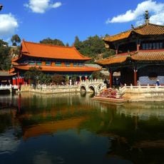
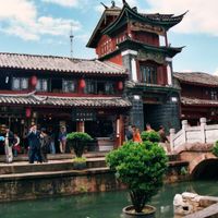
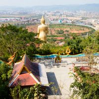
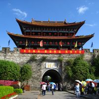
During World War II, the area served as a critical supply route through the Burma Road and hosted the Flying Tigers squadron. For centuries it functioned as a crossroads between Chinese empires and Southeast Asian kingdoms, which remains visible in old trade routes and temples.
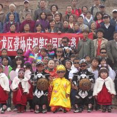
Twenty-five ethnic communities live throughout the region, each keeping their own languages, festivals, and clothing styles that travelers encounter at markets and village celebrations. Many communities practice traditional crafts such as batik dyeing, silver metalwork, and tea ceremonies, which remain part of daily routines.
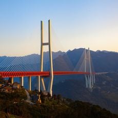
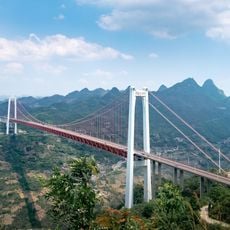
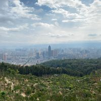
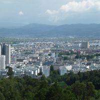
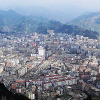
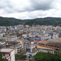
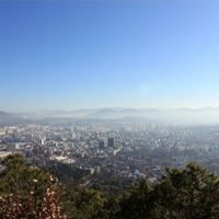
Several airports, railway lines, and highways link the capital Kunming to Southeast Asian countries and other Chinese provinces. The climate varies greatly by elevation, so travelers should prepare for different conditions, from tropical heat to alpine cold.
The territory hosts 17,000 plant species and produces many tea varieties, including the fermented Pu-erh tea from ancient cultivation methods. Some villages still maintain living root bridges, where tree roots have been shaped over decades into load-bearing crossings over rivers.
Location: People's Republic of China
Capital city: Kunming
Shares border with: Tibet Autonomous Region, Sichuan, Guizhou, Guangxi, Lai Châu, Lào Cai, Hà Giang, Phongsaly Province, Udomsai, Lūang Namthā, Kachin State, Shan State
Website: http://yn.gov.cn
GPS coordinates: 25.00000,102.00000
Latest update: December 3, 2025 07:56
Hùng Temple
528.6 km
Meili Xue Shan
505.2 km
Duge Bridge
309.6 km
Fansipan
350.6 km
Stone Forest
135.3 km
Hkakabo Razi
578.3 km
Jade Dragon Snow Mountain
296.3 km
Tiger Leaping Gorge
310.1 km
Nui Coc Lake
536.3 km
Bao Ha Temple
396 km
Tam Đảo
532.7 km
Dwarf Empire
65 km
Xiluodu Dam
398.2 km
Huangguoshu Waterfall
384.5 km
Old Town of Lijiang
272.9 km
Yading
421.7 km
Maotianshan Shales
98.8 km
Kawagarbo
505.2 km
Three Pagodas of the Chongsheng Temple
202.5 km
Three Parallel Rivers National Park
481.8 km
Beipan River Guanxing Highway Bridge
378.5 km
Yuantong Temple
71.9 km
Ham Long Buddhist temple
600.6 km
Ganden Sumtseling Monastery
392.4 km
Baling River Bridge
380.2 km
Black Dragon Pool
274.6 km
Honghe Hani Rice Terraces
227.2 km
Tam Dao National Park
531.1 kmReviews
Visited this place? Tap the stars to rate it and share your experience / photos with the community! Try now! You can cancel it anytime.
Lijiang
Kunming
Qujing
Yuxi
Baoshan
Zhaotong
Pu'er City
Lincang
Chuxiong Yi Autonomous Prefecture
Honghe Hani and Yi Autonomous Prefecture
Wenshan Zhuang and Miao Autonomous Prefecture
Xishuangbanna Dai Autonomous Prefecture
Dali Bai Autonomous Prefecture
Dehong Dai and Jingpo Autonomous Prefecture
Nujiang Lisu Autonomous Prefecture
Diqing Tibetan Autonomous Prefecture
Discover hidden gems everywhere you go!
From secret cafés to breathtaking viewpoints, skip the crowded tourist spots and find places that match your style. Our app makes it easy with voice search, smart filtering, route optimization, and insider tips from travelers worldwide. Download now for the complete mobile experience.
A unique approach to discovering new places❞
— Le Figaro
All the places worth exploring❞
— France Info
A tailor-made excursion in just a few clicks❞
— 20 Minutes