Enable Location

We need your location to show you interesting places around you

Discover nearby places

Find interesting locations and hidden gems around you

Precise directions

Get accurate directions and distances to places

Your location is never shared with other users. It's only used when you tap the location button.

Nathan Road

Log in to your account

Start exploring — it's free

Trusted by 62,838 travelers worldwide

Continue with Google
Continue with Apple
or

We will send you a code to connect

By continuing, you accept our Terms and Conditions and our Privacy Policy

Check your inbox

We've sent a pincode in your inbox. Please enter the code below.

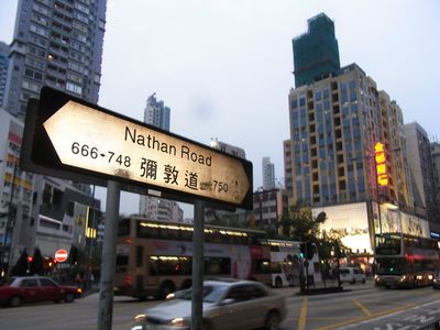
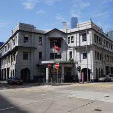
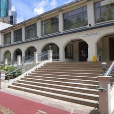
Nathan Road, Arterial road in Yau Tsim Mong District, Hong Kong.

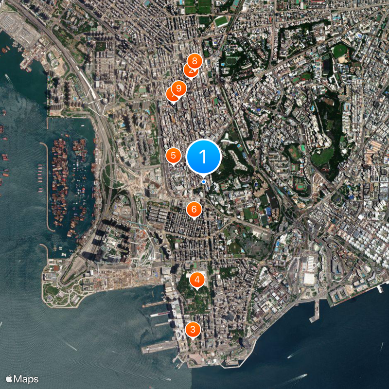
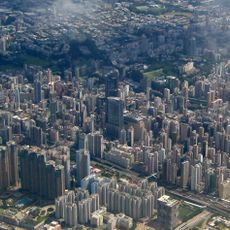
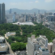
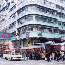
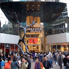
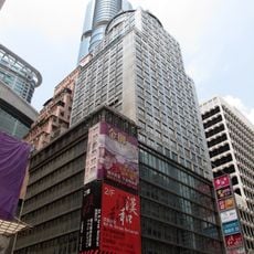
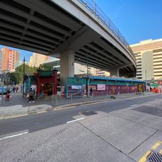
Nathan Road is a major traffic artery running through Kowloon, connecting Tsim Sha Tsui in the south to Sham Shui Po in the north. The street is lined continuously with shops, restaurants, and offices that form the backbone of commerce in this part of the city.

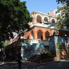
The street began in 1861 as Robinson Road and was renamed in 1909 to honor Sir Matthew Nathan, the thirteenth governor of Hong Kong. This change reflects how the road became a symbol of British administration as the city expanded.

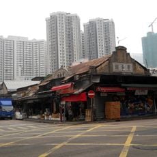
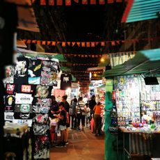
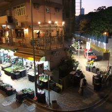
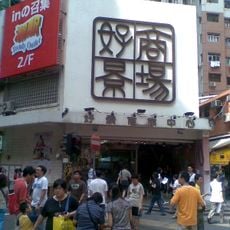
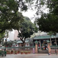
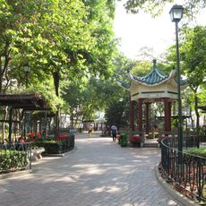
The street hosts many markets, especially the Temple Street Night Market, where traders sell local goods, food, and electronics to crowds of shoppers. These bustling spaces show the trading customs that have shaped the neighborhood for generations.

Five underground train stations sit beneath this street and provide access to different sections of the route. Finding your way is straightforward since the road runs in a direct line and stations are clearly marked.

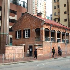
This street was the first road built in Kowloon after the territory was handed over by the Qing dynasty to Britain, marking its role as a gateway to modern development in the region. Its straight layout was a deliberate choice of British urban design.

The community of curious travelers

AroundUs brings together thousands of curated places, local tips, and hidden gems, enriched daily by 60,000 contributors worldwide.

Start exploring
Inception
1861
GPS coordinates
22.31057,114.17112
Latest update
December 20, 2025 01:24
« Nathan Road - Arterial road in Yau Tsim Mong District, Hong Kong » is provided by Around Us (aroundus.com). Images and texts are derived from Wikimedia project under a Creative Commons license. You are allowed to copy, distribute, and modify copies of this page, under the conditions set by the license, as long as this note is clearly visible.

Discover hidden gems everywhere you go!

From secret cafés to breathtaking viewpoints, skip the crowded tourist spots and find places that match your style. Our app makes it easy with voice search, smart filtering, route optimization, and insider tips from travelers worldwide. Download now for the complete mobile experience.

Around Us App Screenshot

A unique approach to discovering new places

Le Figaro

All the places worth exploring

France Info

A tailor-made excursion in just a few clicks

20 Minutes

Around Us
Travel Guide & Maps
Download

Send to your phone

QR Code
1

Open the camera app on your mobile.

2

Point at the QR code with your camera. A notification will appear.

3

Tap the notification to open the link.