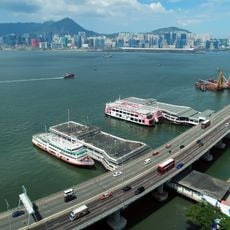
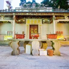
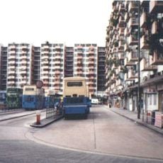
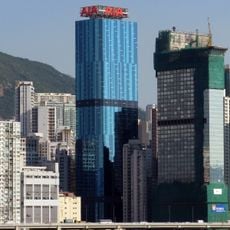
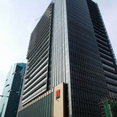
Tsat Tsz Mui, Coastal cape in North Point, Hong Kong.
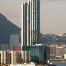
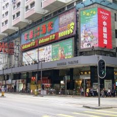
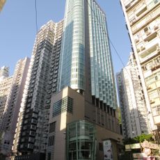
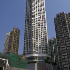
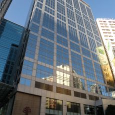
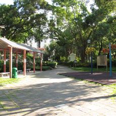
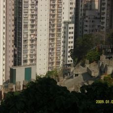
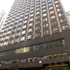
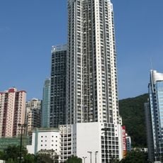
Tsat Tsz Mui is a neighbourhood in eastern North Point, Hong Kong, on Hong Kong Island, centred on Tsat Tsz Mui Road. It was formerly a Hakka village whose site lies at present-day Healthy Garden. The area is now built up with public and private housing, including Model Housing Estate, and is often treated as part of North Point.
Tsat Tsz Mui was a Hakka village recorded in an 1849 census with over 200 inhabitants and more than 100 houses; a 1911 census counted 297 residents. In 1911 the Chinese Amateur Athletic Club set up a swimming shed on the shore, drawing 100,000 bathers a year. Reclamation and the 1934 King's Road project demolished the village, and in December 1941 Japanese troops landed at the swimming shed.
The name Tsat Tsz Mui comes from a local story about seven Hakka sisters who made a pact of sisterhood and left their mark on the geography. This tale continues to shape how residents connect with and speak about the place.
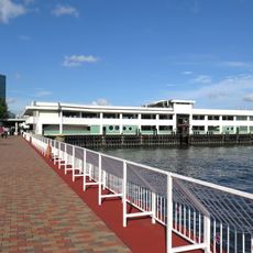
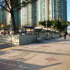
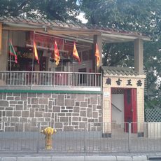
Tsat Tsz Mui Road runs through the former village area, now part of North Point; the MTR Quarry Bay station lies to the east. The shoreline where the swimming sheds once stood has been reclaimed, so there is no water edge to approach. Look for Tsat Tsz Mui Post Office as a surviving marker of the name.
The seven rocks that villagers believed were the sisters, Tsat Tsz Mui Shek, no longer stand on the shore: they were buried under the 1934 reclamation for urban development. The name survives in Tsat Tsz Mui Road and Tsat Tsz Mui Post Office, the only features still carrying it.
The community of curious travelers
AroundUs brings together thousands of curated places, local tips, and hidden gems, enriched daily by 94,404 contributors worldwide.