
白马湖街道, Straßenviertel in der Volksrepublik China
Location: Zhenning Buyei and Miao Autonomous County
GPS coordinates: 26.05249,105.76180
Latest update: March 14, 2025 09:32
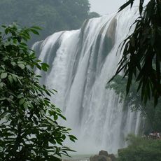
Huangguoshu Waterfall
11.8 km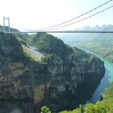
Beipan River Guanxing Highway Bridge
45.3 km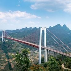
Baling River Bridge
16.7 km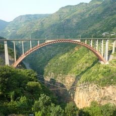
Beipan River Shuibai Railway Bridge
105.5 km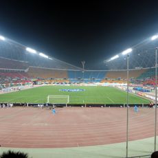
Guiyang Olympic Sports Center
105.3 km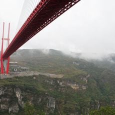
Yachi River Bridge
96.1 km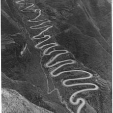
24-zig
61.6 km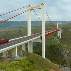
Beipan River Hukun Expressway Bridge
47.2 km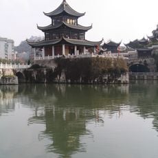
Jiaxiu Pavilion
111.6 km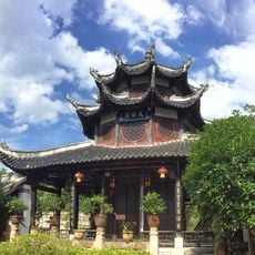
Wenchang Pavilion
111.9 km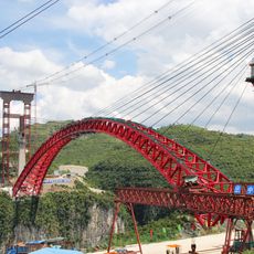
Najiehe Railway Bridge
82.7 km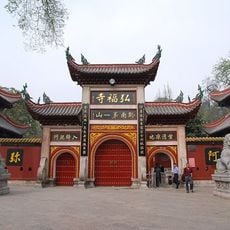
Hongfu Temple
111.6 km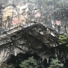
Zhijin Cave
80.4 km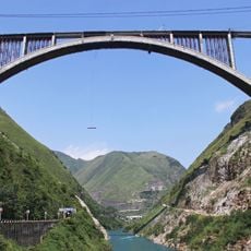
Qinglong Railway Bridge
52 km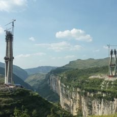
Liuchonghe Bridge
85 km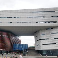
Geological Museum of Guizhou
105.6 km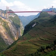
Dimuhe River Bridge
96.4 km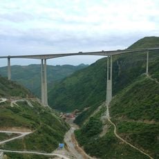
Zhuchanghe River Bridge
99.7 km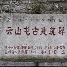
Yunshantun
41.9 km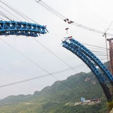
Yachi Railway Bridge
106.9 km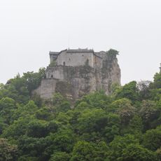
Tiantaishan Wulong Temple
53 km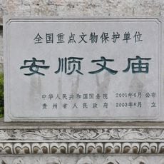
Anshun Confucian Temple
28.1 km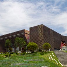
Guizhou Provincial Museum
110 km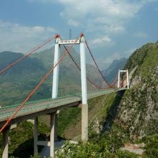
Azhihe River Bridge
59.3 km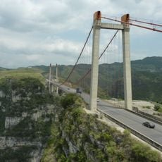
Xixi Bridge
109 km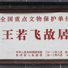
Former Residence of Wang Ruofei
27.7 km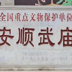
Temple of Guan Yu
30.7 km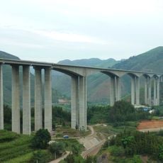
Hutiaohe Bridge
93.4 kmReviews
Visited this place? Tap the stars to rate it and share your experience / photos with the community! Try now! You can cancel it anytime.
Discover hidden gems everywhere you go!
From secret cafés to breathtaking viewpoints, skip the crowded tourist spots and find places that match your style. Our app makes it easy with voice search, smart filtering, route optimization, and insider tips from travelers worldwide. Download now for the complete mobile experience.

A unique approach to discovering new places❞
— Le Figaro
All the places worth exploring❞
— France Info
A tailor-made excursion in just a few clicks❞
— 20 Minutes