麦日乡, Gemeinde in China
Location: Muli Tibetan Autonomous County
GPS coordinates: 28.72985,100.59020
Latest update: March 12, 2025 09:57
Meili Xue Shan
189.2 km
Jade Dragon Snow Mountain
186.1 km
Tiger Leaping Gorge
172.7 km
Jinping-I Hydropower Station
118.7 km
Yading
42.3 km
Mount Gongga
158.1 km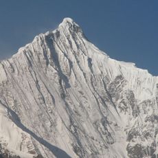
Kawagarbo
189.1 km
Ganden Sumtseling Monastery
129.8 km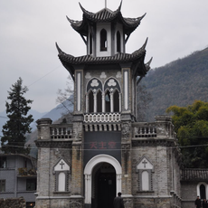
St. Anne's Church, Moxi
180.5 km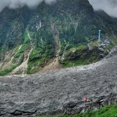
Hailuogou Glacier
163.4 km
Baishuitai
147 km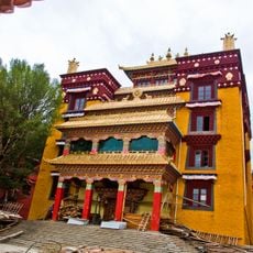
Litang Monastery
145.3 km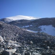
Haba Xueshan
163.8 km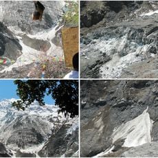
Mingyong Glacier
183.5 km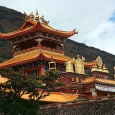
Nanwu Si Monastery
197.1 km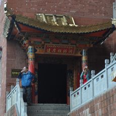
Weixi Bodhidharma Cave
165.3 km
Jade Water Village
196.2 km
Cathedral of the Angels, Xichang
188.5 km
Chöling Monastery
16.6 km
Yezhi Tusi Government Office
189.8 km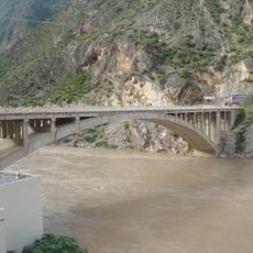
Helong bridge
133 km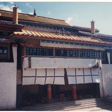
Muli Monastery
67.7 km
Pangphuk Gön
72.5 km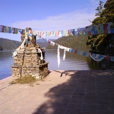
Pu Dacu Manjusri Temple
116.4 km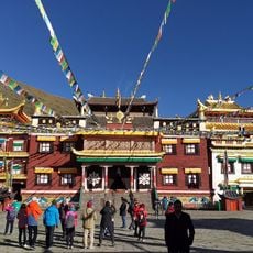
Tagong Temple
198.6 km
Former residence of Joseph Rock
194.5 km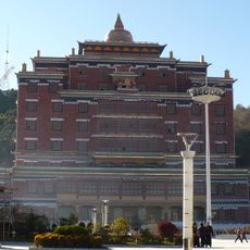
迪庆香巴拉藏文化博物馆
133.2 km
Diqing Tibetan Autonomous Prefecture Museum
133.8 kmReviews
Visited this place? Tap the stars to rate it and share your experience / photos with the community! Try now! You can cancel it anytime.
Discover hidden gems everywhere you go!
From secret cafés to breathtaking viewpoints, skip the crowded tourist spots and find places that match your style. Our app makes it easy with voice search, smart filtering, route optimization, and insider tips from travelers worldwide. Download now for the complete mobile experience.

A unique approach to discovering new places❞
— Le Figaro
All the places worth exploring❞
— France Info
A tailor-made excursion in just a few clicks❞
— 20 Minutes