
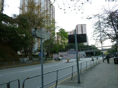
Chung Mei Road, Street in Hong Kong
Location: Kwai Tsing District
Location: Hong Kong
GPS coordinates: 22.35070,114.10510
Latest update: September 23, 2025 12:57
Nina Tower
2.2 km
Tsing Yi Park
576 m
Tsuen Wan Riviera Park
1.6 km
Indi Home
2.2 km
Vision City
2.4 km
Kwai Chung Park
1.6 km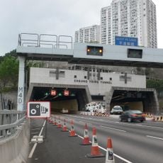
Cheung Tsing Tunnel
584 m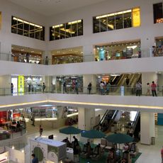
Cheung Fat Plaza
1.3 km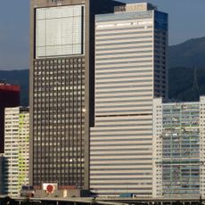
One Midtown
2.5 km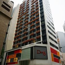
DAN6
2 km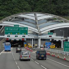
Nam Wan Tunnel
1.4 km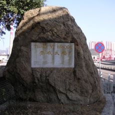
Tsing Yi Bridge
901 m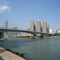
Tsing Yi North Bridge
1.2 km
Sha Tsui Road
2.5 km
Tsuen Wan Slaughterhouse
1.3 km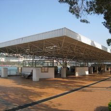
Tsing Yi Pier
544 m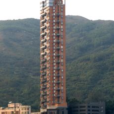
The Westminster Terrace
2.3 km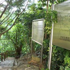
Tsing Yi Nature Trail
1.2 km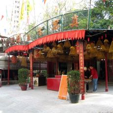
Chun Kwan Temple
240 m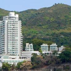
One Kowloon Peak
2.2 km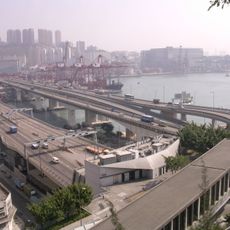
Cheung Tsing Bridge
870 m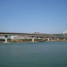
Rambler Channel Bridge
1 km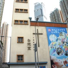
CCC Chuen Yuen Church
2.4 km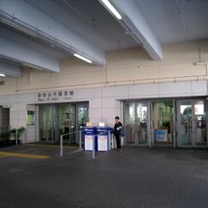
Tsing Yi Public Library
436 m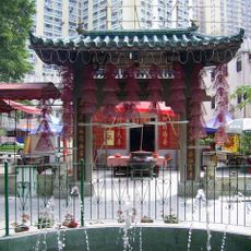
Tin Hau Temple
213 m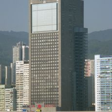
Wharf Cable Tower
2.5 km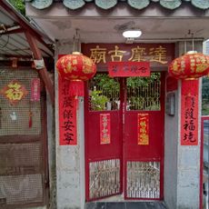
Ching Tak Tong Tat Mor Cho Sze Temple
172 m
Liu To Bridge
734 mReviews
Visited this place? Tap the stars to rate it and share your experience / photos with the community! Try now! You can cancel it anytime.
Discover hidden gems everywhere you go!
From secret cafés to breathtaking viewpoints, skip the crowded tourist spots and find places that match your style. Our app makes it easy with voice search, smart filtering, route optimization, and insider tips from travelers worldwide. Download now for the complete mobile experience.

A unique approach to discovering new places❞
— Le Figaro
All the places worth exploring❞
— France Info
A tailor-made excursion in just a few clicks❞
— 20 Minutes