
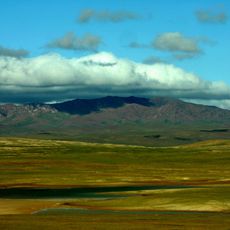
Goipug, Berggipfel in der Volksrepublik China
Location: Tibet Autonomous Region
GPS coordinates: 32.50111,92.40111
Latest update: April 9, 2025 07:11
Hoh Xil
322.1 km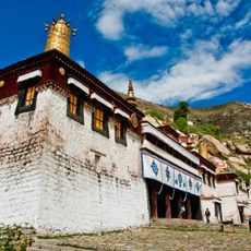
Sera Monastery
334.8 km
Ganden Monastery
317.8 km
Yerpa
324.8 km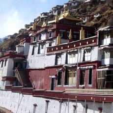
Drigung Monastery
267.2 km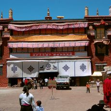
Ramoche Temple
338.8 km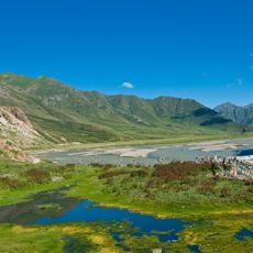
Reting Monastery
258.1 km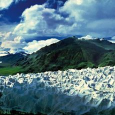
Geladaindong Peak
159.8 km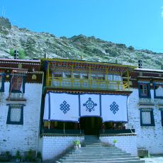
Sanga Monastery
330.3 km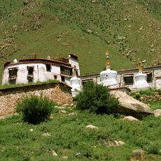
Pabonka Hermitage
332.9 km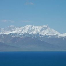
Mount Nyenchen Tanglha
292.7 km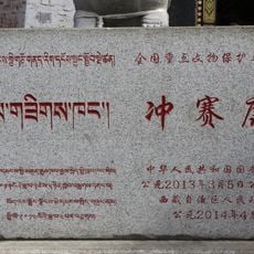
Chongsaikang
339.2 km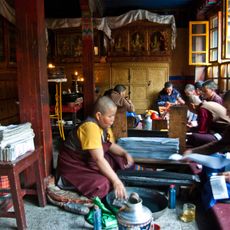
Ani Tsankhung Nunnery
334.5 km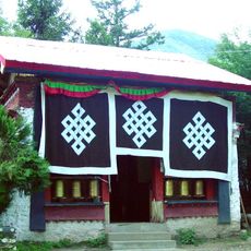
Tsozong Gongba Monastery
312.6 km
Taklung Monastery
284.1 km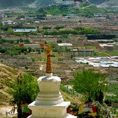
Chupzang Nunnery
333.5 km
Dazi Bridge
329.2 km
Yangpachen Monastery
337.3 km
Gyume Dratsang
339 km
Rakhadrak Hermitage
333.7 km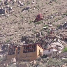
Sera Utsé Hermitage
330.5 km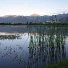
Lalu Wetlands National Nature Preserve
338.8 km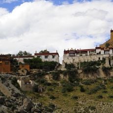
Purbuchok Hermitage
332.8 km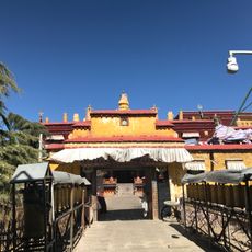
Tsomon Ling
339 km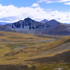
Mila Mountain
298.3 km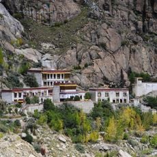
Keutsang Hermitage
333.6 km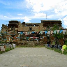
Shide Dratsang
339.1 km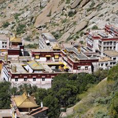
Sera Chöding Hermitage
334.6 kmReviews
Visited this place? Tap the stars to rate it and share your experience / photos with the community! Try now! You can cancel it anytime.
Discover hidden gems everywhere you go!
From secret cafés to breathtaking viewpoints, skip the crowded tourist spots and find places that match your style. Our app makes it easy with voice search, smart filtering, route optimization, and insider tips from travelers worldwide. Download now for the complete mobile experience.

A unique approach to discovering new places❞
— Le Figaro
All the places worth exploring❞
— France Info
A tailor-made excursion in just a few clicks❞
— 20 Minutes