Enable Location

We need your location to show you interesting places around you

Discover nearby places

Find interesting locations and hidden gems around you

Precise directions

Get accurate directions and distances to places

Your location is never shared with other users. It's only used when you tap the location button.

Geladaindong Peak

Log in to your account

Start exploring — it's free

Trusted by 65,840 travelers worldwide

Continue with Google
Continue with Apple
or

We will send you a code to connect

By continuing, you accept our Terms and Conditions and our Privacy Policy

Check your inbox

We've sent a pincode in your inbox. Please enter the code below.

Geladaindong Peak
Discussion Reviews 1 Photos
4k Popularity

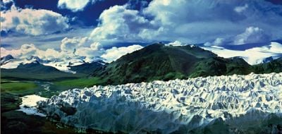
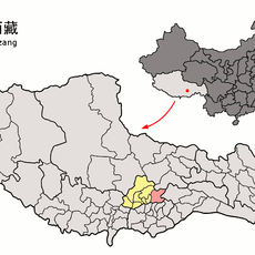
Geladaindong Peak, Mountain summit in Haixi Mongol and Tibetan Autonomous Prefecture, China

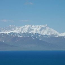
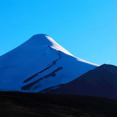
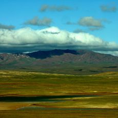
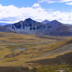
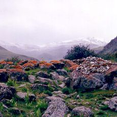
Geladaindong Peak is the highest summit of the Tanggula Range, located in the Haixi Mongol and Tibetan Autonomous Prefecture, China. The mountain is covered by glaciers and steep snow slopes year-round, with sharp ridges forming the upper terrain.

A Japanese mountaineering team made the first recorded ascent in 1985, using a route along the northwest ridge. That climb opened the way for later expeditions and research in the area.

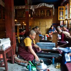
The name derives from Tibetan language roots and reflects the deep connection of local communities to this high mountain region. The area remains important to traditional ways of life in the eastern highlands.

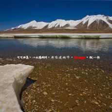
Reaching the mountain requires traveling long distances on remote tracks, so planning ahead is important. Anyone attempting the summit should be well prepared for extreme cold and high-altitude conditions throughout the year.

The glaciers on this peak are considered one of the main sources of the Yangtze River, the longest river in Asia. Meltwater from the ice flows down from the mountain and feeds the river at its very beginning.

The community of curious travelers

AroundUs brings together thousands of curated places, local tips, and hidden gems, enriched daily by 60,000 contributors worldwide.

Start exploring
Elevation above the sea
6,621 m
GPS coordinates
33.49607,91.16674
Latest update
March 3, 2026 14:04
Reviews
Share your experience

No review yet

Discussions
Start a discussion...

No discussion yet

« Geladaindong Peak - Mountain summit in Haixi Mongol and Tibetan Autonomous Prefecture, China » is provided by Around Us (aroundus.com). Images and texts are derived from Wikimedia project under a Creative Commons license. You are allowed to copy, distribute, and modify copies of this page, under the conditions set by the license, as long as this note is clearly visible.

Discover hidden gems everywhere you go!

From secret cafés to breathtaking viewpoints, skip the crowded tourist spots and find places that match your style. Our app makes it easy with voice search, smart filtering, route optimization, and insider tips from travelers worldwide. Download now for the complete mobile experience.

Around Us App Screenshot

A unique approach to discovering new places

Le Figaro

All the places worth exploring

France Info

A tailor-made excursion in just a few clicks

20 Minutes

Around Us
Travel Guide & Maps
Download

Send to your phone

QR Code
1

Open the camera app on your mobile.

2

Point at the QR code with your camera. A notification will appear.

3

Tap the notification to open the link.