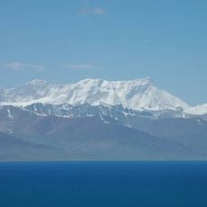
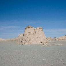
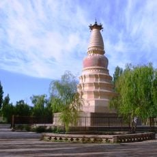
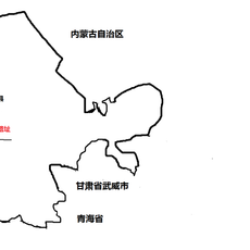
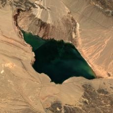
Bukadaban Feng, Mountain peak in Kunlun Mountains, China
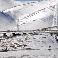
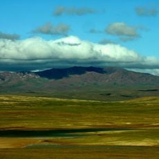
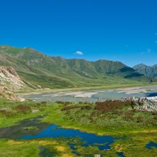
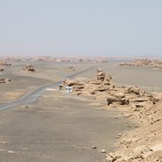
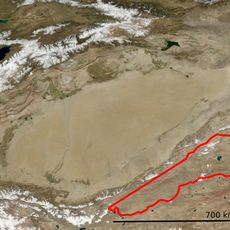
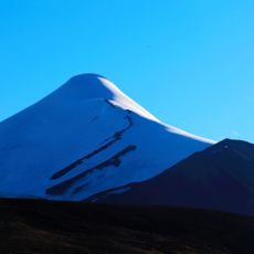
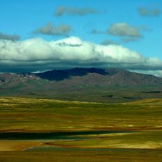
Bukadaban Feng is a mountain peak in the Kunlun Mountains standing at approximately 6,860 meters (22,510 feet) and marks the boundary between Xinjiang and Qinghai provinces in northwestern China. The summit sits in a remote area with rugged terrain and harsh environmental conditions.
The peak was previously recorded on maps at a greater elevation of around 7,720 meters, an error that persisted for a long time. Modern surveying techniques eventually corrected these earlier geographic records with accurate measurements.
The name Bukadaban Feng is borrowed from Uyghur, in which it means "bison peak"; the Chinese form 布喀达坂峰 is a transcription of that Uyghur name. The peak also carries the Chinese name Xin Qing Feng (新青峰), referring to the Xinjiang–Qinghai border it sits on, and the name Bokalik Tagh (博卡雷克塔格山).
The location is extremely remote and requires thorough preparation with specialized equipment and high-altitude mountaineering experience. Visitors should expect basic infrastructure and limited access options.
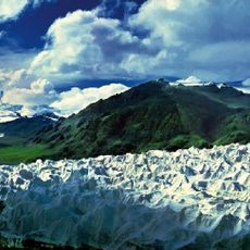
The 7,720-metre figure printed on older maps was wrong; the true height is 6,860 metres. The peak lies within Hoh Xil and carries 53 glaciers covering 243.6 square kilometres, the largest being Bukadaban Glacier at 24.2 kilometres long, with an average snowline at 5,550 metres.
The community of curious travelers
AroundUs brings together thousands of curated places, local tips, and hidden gems, enriched daily by 94,949 contributors worldwide.