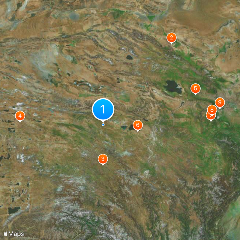
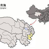
Qinghai, Province in northwestern China
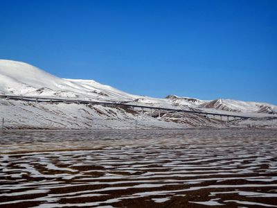
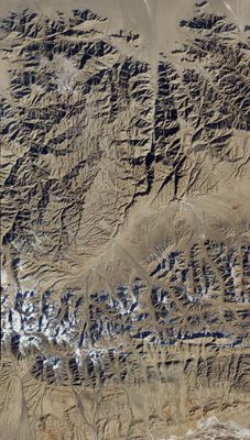
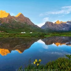
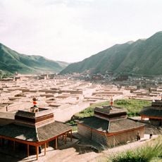
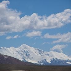
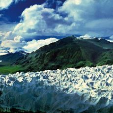
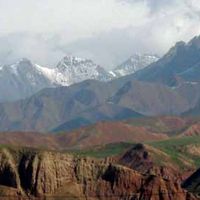
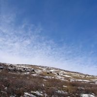
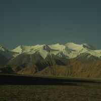
Qinghai is an administrative unit in northwestern China covering roughly 720,000 square kilometers, with Xining serving as its capital. The landscape includes high mountain ranges, dry basins, and wide grasslands lying between 2,000 and over 5,000 meters above sea level.
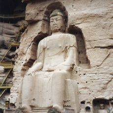
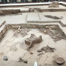
The territory officially became a separate administrative unit in 1928 when Republic of China authorities detached it from neighboring Gansu. Centuries earlier, trade routes passed through here linking different cultures along the Silk Road.
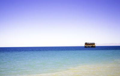
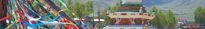
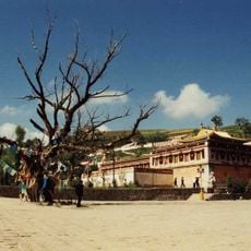
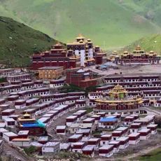
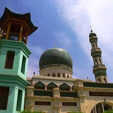
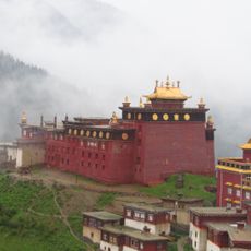
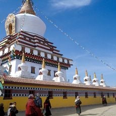
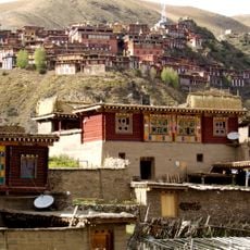
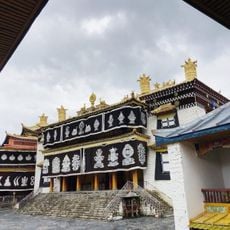
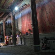
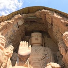
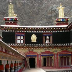
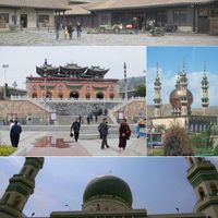
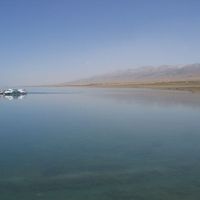
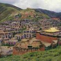
The region takes its name from a lake whose turquoise waters lie amid wide plateaus and hold spiritual meaning for several communities over centuries. Visitors notice the mix of Tibetan monasteries, Islamic mosques, and Chinese temples that together shape the religious daily life of residents.
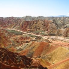
Travelers should prepare for high elevations, as most places sit well above 2,000 meters and the body needs time to adjust. Temperatures swing sharply between day and night, so layered clothing is recommended in any season.
The lake after which the region is named remains partly frozen in winter and becomes a nesting site for thousands of migratory birds arriving from South Asia and the Indian subcontinent in summer. An international cycling race takes place here each year at roughly 3,200 meters, where riders contend with thin air and changing weather.
The community of curious travelers
AroundUs brings together thousands of curated places, local tips, and hidden gems, enriched daily by 60,000 contributors worldwide.