Enable Location

We need your location to show you interesting places around you

Discover nearby places

Find interesting locations and hidden gems around you

Precise directions

Get accurate directions and distances to places

Your location is never shared with other users. It's only used when you tap the location button.

Bayan Har Mountains

Log in to your account

Start exploring — it's free

Trusted by 61,776 travelers worldwide

Continue with Google
Continue with Apple
or

We will send you a code to connect

By continuing, you accept our Terms and Conditions and our Privacy Policy

Check your inbox

We've sent a pincode in your inbox. Please enter the code below.

Bayan Har Mountains

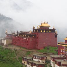
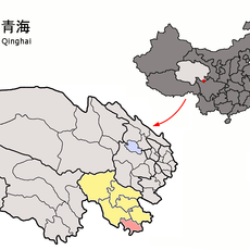
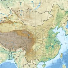
Bayan Har Mountains, Mountain range in Qinghai Province, China

Description

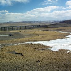
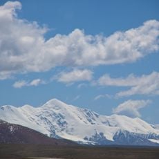
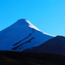
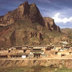
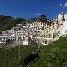
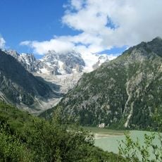
Bayan Har Mountains spread across the Tibetan Plateau, creating a landscape shaped by numerous peaks and deep valleys. The highest points reach approximately 5,260 meters in elevation, with the terrain alternating between steep slopes and broad plateaus.

History

The mountains served as a natural boundary separating different Chinese regions across centuries, shaping the political divisions of the area. This geographical division also influenced the development of early trade routes and economic patterns in surrounding lands.

Culture

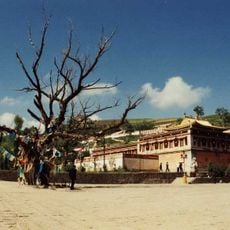
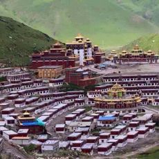
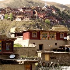
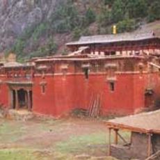
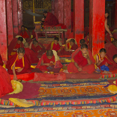
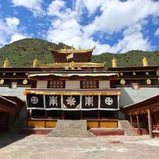
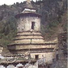
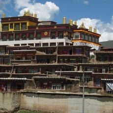
The range takes its name from Mongolian origins, meaning Rich and Black, reflecting the connection of local communities to this high-altitude environment. Herders and residents have adapted their daily lives to thrive in these demanding conditions.

Practical

Summer months offer the most favorable conditions for visiting, with better weather and accessible routes throughout the range. Travelers should prepare for high elevation and bring appropriate gear for rapidly changing weather patterns at altitude.

Did you know?

The range acts as a watershed divide between two of China's largest rivers, influencing water distribution across vast regions of the country. This hydrological role makes it fundamental to Asian geography.

Location
Elevation above the sea
5,266 m
GPS coordinates
34.69283,98.09883
Latest update
December 7, 2025 20:24

AroundUs brings together thousands of curated places, local tips, and hidden gems, enriched daily by 60,000 contributors worldwide. Discover all places nearby (Qinghai).

« Bayan Har Mountains - Mountain range in Qinghai Province, China » is provided by Around Us (aroundus.com). Images and texts are derived from Wikimedia project under a Creative Commons license. You are allowed to copy, distribute, and modify copies of this page, under the conditions set by the license, as long as this note is clearly visible.

Discover hidden gems everywhere you go!

From secret cafés to breathtaking viewpoints, skip the crowded tourist spots and find places that match your style. Our app makes it easy with voice search, smart filtering, route optimization, and insider tips from travelers worldwide. Download now for the complete mobile experience.

Around Us App Screenshot

A unique approach to discovering new places

Le Figaro

All the places worth exploring

France Info

A tailor-made excursion in just a few clicks

20 Minutes

Around Us
Travel Guide & Maps
Download

Send to your phone

QR Code
1

Open the camera app on your mobile.

2

Point at the QR code with your camera. A notification will appear.

3

Tap the notification to open the link.