Hoh Xil Shan, Mountain summit in Zokya, China.
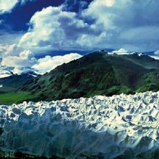
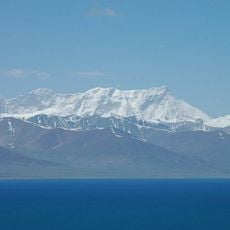
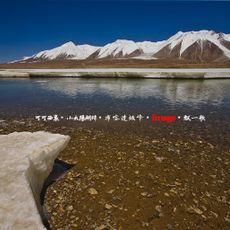
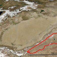
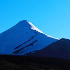
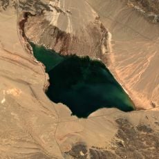
Hoh Xil Shan is a mountain range, the southern branch of the Kunlun system, running east-west across the Tibet Autonomous Region and Qinghai Province. It consists of separate, irregularly arranged massifs with flattened summits covered in stone debris; the highest massifs carry glaciers. Its highest point is Gangzari at 6,305 m, and the Chumar River, a source of the Yangtze, rises here.
The range is the southern part of the Kunlun system on the northern Tibetan Plateau. In 2017 the Hoh Xil area was inscribed as a UNESCO World Heritage site. The Soviet-era Bolshaya Sovetskaya Entsiklopediya already described it as a high-altitude cold desert of separate, jumbled massifs with flattened, rubble-covered summits.
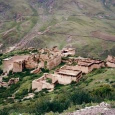
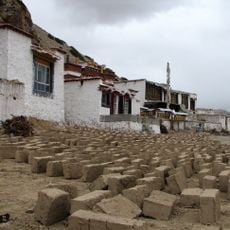
The Tibetan communities in the surrounding region practice traditional herding and have adapted their way of life to the mountain's harsh conditions. You can still see herders working with their animals across the high plateaus today.
Visitors need special permits and high-altitude gear to reach this area, as it sits extremely high and far from populated zones. Proper acclimatization is critical, and coming with experienced guides is essential.
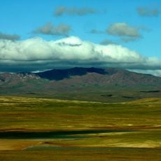
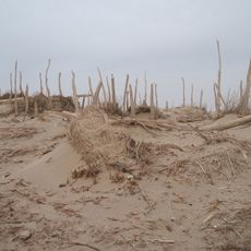
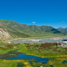
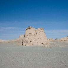
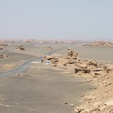
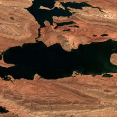
The range's highest massifs carry glaciers, while its base slopes down to plains at 4,500–5,000 m dotted with numerous lakes, so the system as a whole does not feel like high mountain country. The landscape is classed as high-altitude cold desert.
The community of curious travelers
AroundUs brings together thousands of curated places, local tips, and hidden gems, enriched daily by 94,084 contributors worldwide.