Enable Location

We need your location to show you interesting places around you

Discover nearby places

Find interesting locations and hidden gems around you

Precise directions

Get accurate directions and distances to places

Your location is never shared with other users. It's only used when you tap the location button.

Log in to your account

Start exploring — it's free

Trusted by 62,298 travelers worldwide

Continue with Google
Continue with Apple
or

We will send you a code to connect

By continuing, you accept our Terms and Conditions and our Privacy Policy

Check your inbox

We've sent a pincode in your inbox. Please enter the code below.

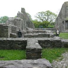
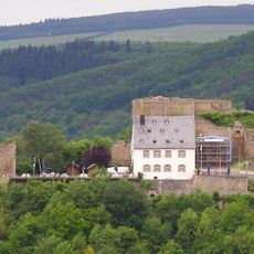
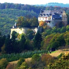
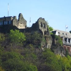
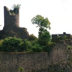
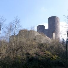
Birkenfeld, Administrative district in Rhineland-Palatinate, Germany.

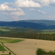
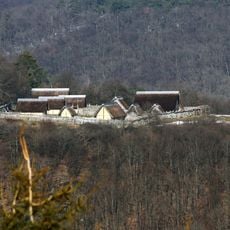
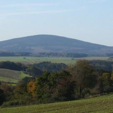
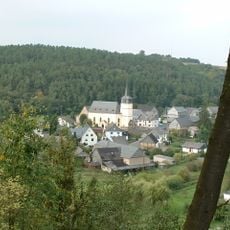
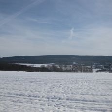
Birkenfeld district spreads across the Hunsrück mountain range, featuring dense forests, deep valleys, and the Nahe river flowing through its southern areas. The landscape is shaped by extensive woodland, which together with the river valleys defines the character of this region.

The district took its present form after World War II through administrative reorganization under French occupation. Several communities were brought together to create the new district structure.

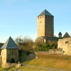
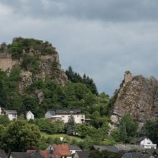
The district is known for its gemstone tradition, especially in Idar-Oberstein, where craftspeople have shaped and polished jewelry for generations. These skilled trades continue to define the local economy and shape how residents see their region.

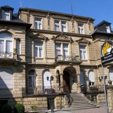
The district administration is based in the town of Birkenfeld, serving around 80,000 residents across multiple municipalities. The region is well-connected by roads, making it easy for visitors to explore the landscape and communities.

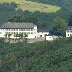
The district is home to Environmental Campus Birkenfeld, a university facility designed to operate without carbon emissions. This institution demonstrates in practice how sustainable technologies can be applied in an educational setting.

The community of curious travelers

AroundUs brings together thousands of curated places, local tips, and hidden gems, enriched daily by 60,000 contributors worldwide.

Start exploring
Capital city
Birkenfeld
Elevation above the sea
411 m
Shares border with
Rhein-Hunsrück-Kreis, Bad Kreuznach, Kusel, St. Wendel, Trier-Saarburg, Bernkastel-Wittlich
GPS coordinates
49.67000,7.33000
Latest update
December 19, 2025 22:15
« Birkenfeld - Administrative district in Rhineland-Palatinate, Germany » is provided by Around Us (aroundus.com). Images and texts are derived from Wikimedia project under a Creative Commons license. You are allowed to copy, distribute, and modify copies of this page, under the conditions set by the license, as long as this note is clearly visible.

Discover hidden gems everywhere you go!

From secret cafés to breathtaking viewpoints, skip the crowded tourist spots and find places that match your style. Our app makes it easy with voice search, smart filtering, route optimization, and insider tips from travelers worldwide. Download now for the complete mobile experience.

Around Us App Screenshot

A unique approach to discovering new places

Le Figaro

All the places worth exploring

France Info

A tailor-made excursion in just a few clicks

20 Minutes

Around Us
Travel Guide & Maps
Download

Send to your phone

QR Code
1

Open the camera app on your mobile.

2

Point at the QR code with your camera. A notification will appear.

3

Tap the notification to open the link.