Enable Location

We need your location to show you interesting places around you

Discover nearby places

Find interesting locations and hidden gems around you

Precise directions

Get accurate directions and distances to places

Your location is never shared with other users. It's only used when you tap the location button.

Ahrweiler

Log in to your account

Start exploring — it's free

Trusted by 62,840 travelers worldwide

Continue with Google
Continue with Apple
or

We will send you a code to connect

By continuing, you accept our Terms and Conditions and our Privacy Policy

Check your inbox

We've sent a pincode in your inbox. Please enter the code below.

Ahrweiler, Rural district in Rhineland-Palatinate, Germany

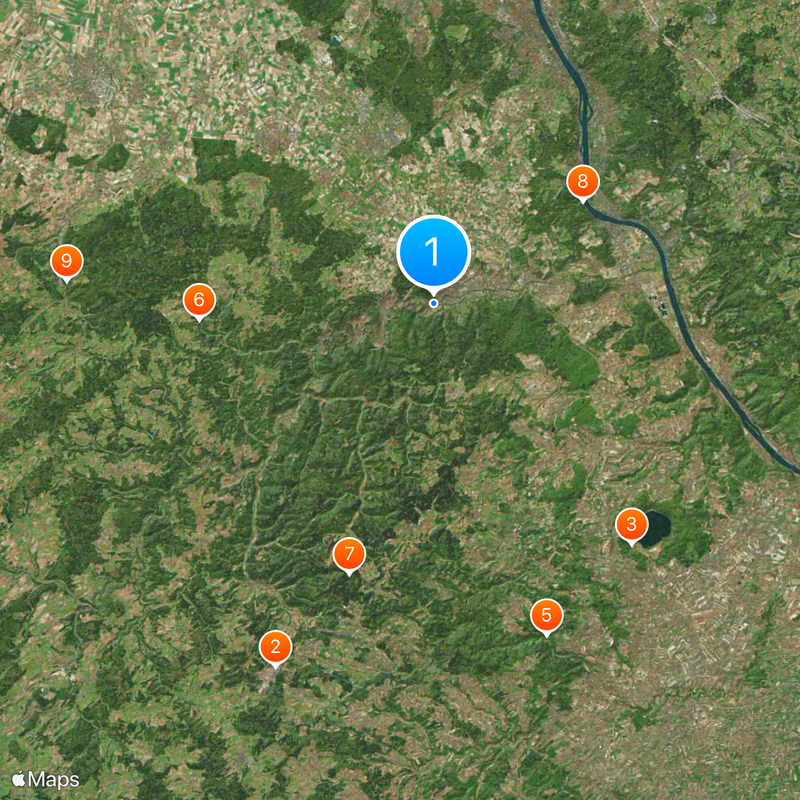
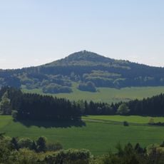
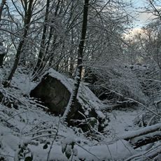
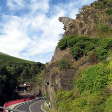
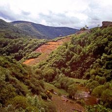
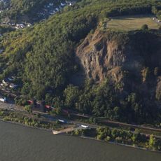
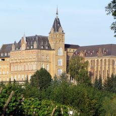
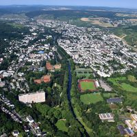
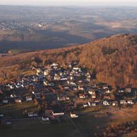
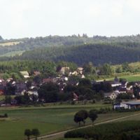
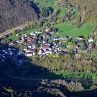
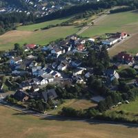
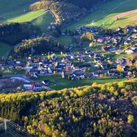
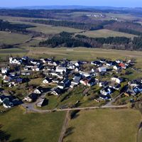
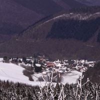
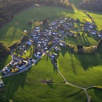
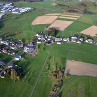
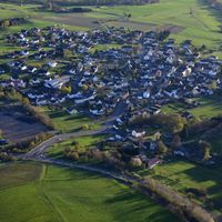
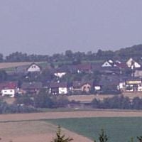
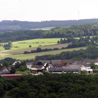
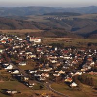
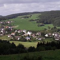
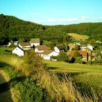
Ahrweiler is a rural district in Rhineland-Palatinate that covers multiple municipalities including Bad Neuenahr-Ahrweiler, Grafschaft, Remagen, and Sinzig. The region spreads over hilly terrain reaching around 331 meters in elevation, where forests, vineyards, and river valleys shape the landscape.

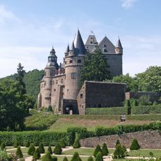
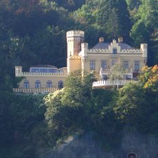
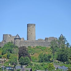
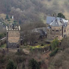
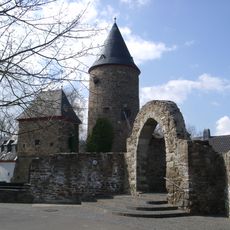
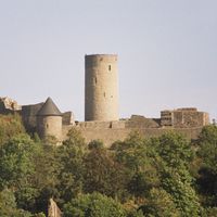
Roman forces established forts like Rigomagus, now Remagen, around 50 BC along strategic routes near the Rhine. Fortified settlements and vineyards grew during the Middle Ages, eventually leading to the formation of the district.

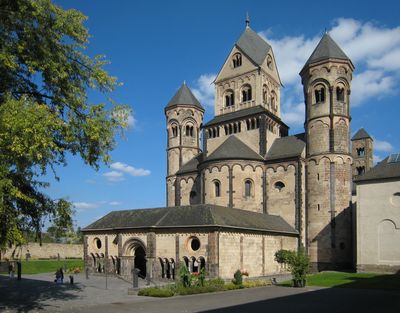
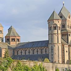
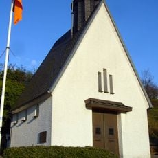
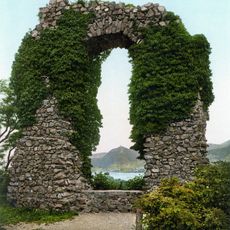
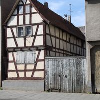
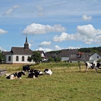
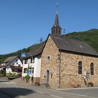
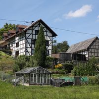
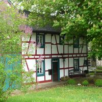
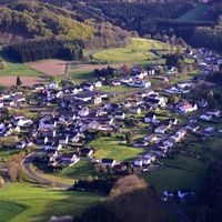
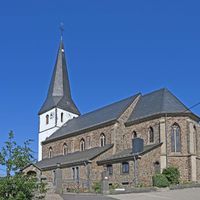
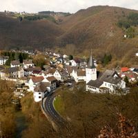
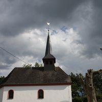
The name of this district comes from the Ahr river, which winds through valleys lined with steep slopes used for winemaking over many generations. Visitors today can walk through small villages where half-timbered houses stand beside tasting rooms run by local vintners.

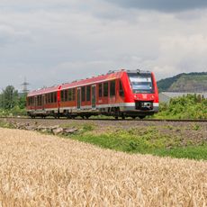
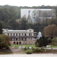
The district administration in Bad Neuenahr-Ahrweiler provides information for travelers and residents looking for guidance on regional services. Roads and rail connections link the various municipalities, making it easy for visitors to explore the area.

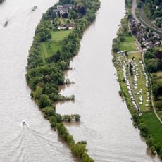
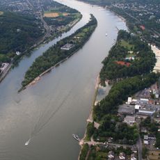
Two rivers run through the region: the Rhine forms the eastern edge while the Ahr flows through the interior. These waterways shape the topography and enable grapes to grow on sunny slopes.

The community of curious travelers

AroundUs brings together thousands of curated places, local tips, and hidden gems, enriched daily by 60,000 contributors worldwide.

Start exploring
Capital city
Bad Neuenahr-Ahrweiler
Elevation above the sea
331 m
Shares border with
Bonn, Rhein-Sieg District, Neuwied, Mayen-Koblenz, Vulkaneifel, Euskirchen
GPS coordinates
50.53333,7.08333
Latest update
December 13, 2025 18:26
« Ahrweiler - Rural district in Rhineland-Palatinate, Germany » is provided by Around Us (aroundus.com). Images and texts are derived from Wikimedia project under a Creative Commons license. You are allowed to copy, distribute, and modify copies of this page, under the conditions set by the license, as long as this note is clearly visible.

Discover hidden gems everywhere you go!

From secret cafés to breathtaking viewpoints, skip the crowded tourist spots and find places that match your style. Our app makes it easy with voice search, smart filtering, route optimization, and insider tips from travelers worldwide. Download now for the complete mobile experience.

Around Us App Screenshot

A unique approach to discovering new places

Le Figaro

All the places worth exploring

France Info

A tailor-made excursion in just a few clicks

20 Minutes

Around Us
Travel Guide & Maps
Download

Send to your phone

QR Code
1

Open the camera app on your mobile.

2

Point at the QR code with your camera. A notification will appear.

3

Tap the notification to open the link.