
Straubing-Bogen, Administrative district in Lower Bavaria, Germany
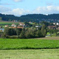
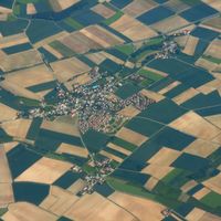
The district covers 1,202 square kilometers of land between the Danube River and the mountains of the Bavarian Forest in eastern Bavaria.
The administrative region formed in 1972 through the combination of former districts Straubing and Bogen, along with sections from Mallersdorf district.
The district's coat of arms displays white-blue diamonds representing Bavaria, a wavy line for the Danube, grain ears for agriculture, and a Madonna figure.
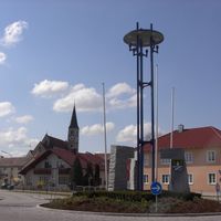
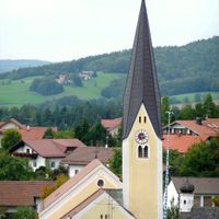
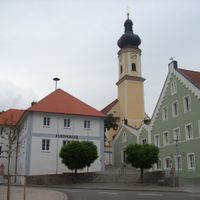
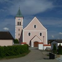
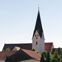
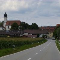
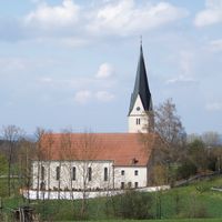
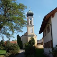
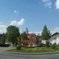
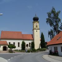
The district government operates from Straubing city and manages 37 municipalities, including the towns of Bogen and Geiselhöring.
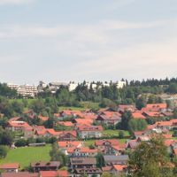
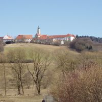
The region spans from the fertile Gäuboden lowlands along the Danube to the elevated terrain of the Bavarian Forest at 337 meters above sea level.
Location: Lower Bavaria
Inception: July 1, 1972
Capital city: Straubing
Elevation above the sea: 337 m
Shares border with: Straubing, Landshut, Dingolfing-Landau, Deggendorf, Regen, Cham, Regensburg
Website: http://straubing-bogen.de
GPS coordinates: 48.92000,12.58000
Latest update: May 27, 2025 09:26

Walhalla memorial
28.8 km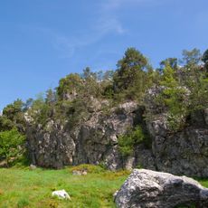
Pfahl
27.4 km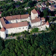
Schloss Wörth an der Donau
15.9 km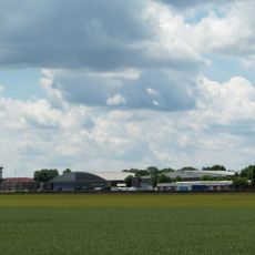
Gäubodenkaserne
9.9 km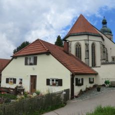
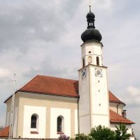
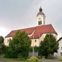
Pilgrimage Church of the Ascension
8.8 km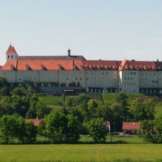
Mallersdorf Abbey
28.6 km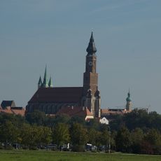
Kollegiatstift SS. Jakobus und Tiburtius
4.3 km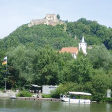
Donaustauf Castle
29.9 km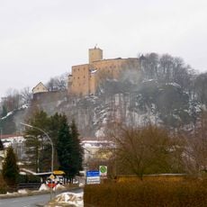
Burg Falkenstein
21.1 km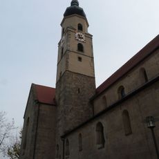
Windberg Abbey
12.4 km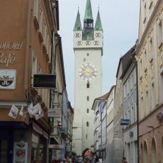
Stadtturm Straubing
4.3 km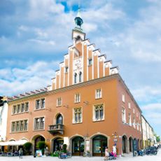
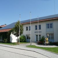
Rathaus Straubing
4.3 km
Christoph 15
4 km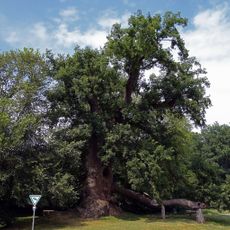
Wolfgangseiche
29.1 km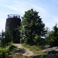
Hirschenstein
22.5 km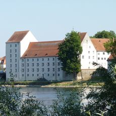
Herzogsschloss (Straubing)
3.9 km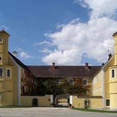
Schloss Puchhof
9.1 km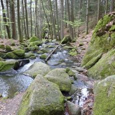
Hölle
22.1 km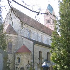
St. Peter (Straubing)
3.8 km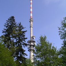
Hohe Linie transmitter
32.7 km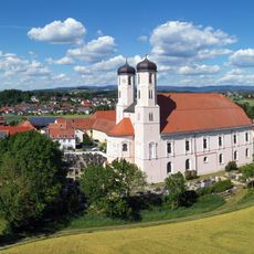
Oberalteich Abbey
6.4 km
Wissenschaftszentrum Straubing
4.5 km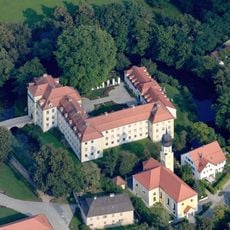
Wasserschloss Köfering
28.1 km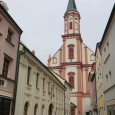
Carmelite Abbey
4.1 km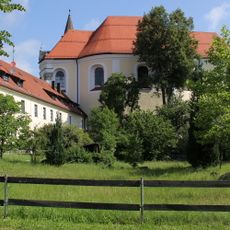
Frauenzell Abbey
21.5 km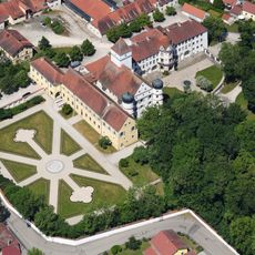
Schloss Alteglofsheim
27.5 km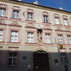
Gäubodenmuseum Straubing
4.1 km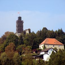
Burg Brennberg
21.5 kmReviews
Visited this place? Tap the stars to rate it and share your experience / photos with the community! Try now! You can cancel it anytime.
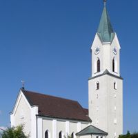
Bogen
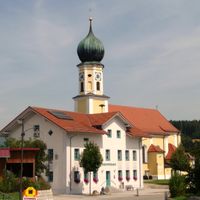
Geiselhöring
Mallersdorf-Pfaffenberg
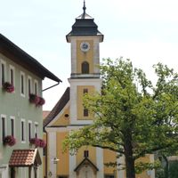
Mitterfels
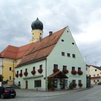
Schwarzach
Aholfing
Aiterhofen
Ascha
Atting

Falkenfels
Feldkirchen
Haibach

Haselbach

Hunderdorf
Irlbach
Kirchroth
Konzell
Laberweinting
Leiblfing
Loitzendorf
Mariaposching
Neukirchen
Niederwinkling
Oberschneiding
Parkstetten
Perasdorf
Perkam
Rain

Rattenberg
Rattiszell
Salching
Sankt Englmar
Stallwang
Steinach
Straßkirchen
Wiesenfelden
Windberg
Discover hidden gems everywhere you go!
From secret cafés to breathtaking viewpoints, skip the crowded tourist spots and find places that match your style. Our app makes it easy with voice search, smart filtering, route optimization, and insider tips from travelers worldwide. Download now for the complete mobile experience.

A unique approach to discovering new places❞
— Le Figaro
All the places worth exploring❞
— France Info
A tailor-made excursion in just a few clicks❞
— 20 Minutes