Xanten, Historic administrative district in North Rhine-Westphalia, Germany
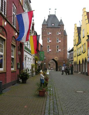
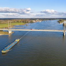
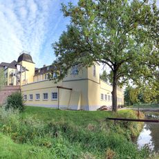
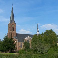
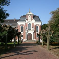
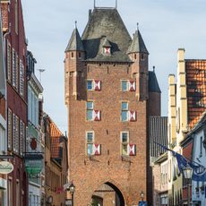
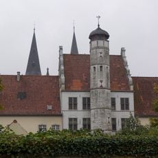
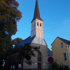
Xanten is a medium-sized district town in the Wesel administrative area of North Rhine-Westphalia, positioned along the left bank of the Rhine between Duisburg and the Netherlands. The settlement preserves Roman foundations beneath its streets and displays medieval town centers with Gothic churches and timber-framed houses along narrow lanes.
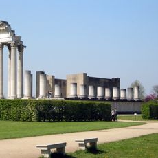
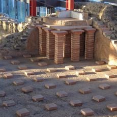
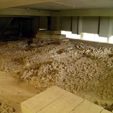
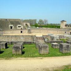
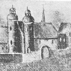
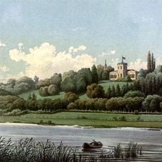
A Roman military camp arose here in 13 BC at a strategic position along the Rhine before the settlement became Colonia Ulpia Traiana under Emperor Trajan as a civilian town for discharged legionaries. Later, bishops and merchants shaped medieval development while wars and floods repeatedly altered the built environment.
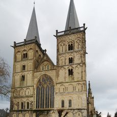
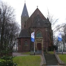
The cathedral houses medieval glass windows that cast colored light across its interior throughout the day. Market squares follow the layout of earlier settlements and remain gathering points for local residents.
Walking routes connect the main points of interest across the town and lead toward the archaeological park on the outskirts. Signs along the paths guide visitors through reconstructed sections and explain the layout of earlier settlements.
An ancient ship hangs suspended 12 meters (40 feet) above the floor inside the Roman museum, showing shipbuilding techniques from the imperial period. The artifacts recovered from the Rhine reveal how river vessels moved soldiers and goods upstream through German territory.
The community of curious travelers
AroundUs brings together thousands of curated places, local tips, and hidden gems, enriched daily by 60,000 contributors worldwide.