Enable Location

We need your location to show you interesting places around you

Discover nearby places

Find interesting locations and hidden gems around you

Precise directions

Get accurate directions and distances to places

Your location is never shared with other users. It's only used when you tap the location button.

Rummelsburg

Log in to your account

Start exploring — it's free

Trusted by 62,060 travelers worldwide

Continue with Google
Continue with Apple
or

We will send you a code to connect

By continuing, you accept our Terms and Conditions and our Privacy Policy

Check your inbox

We've sent a pincode in your inbox. Please enter the code below.

Rummelsburg, Industrial district in Lichtenberg, Germany

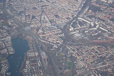
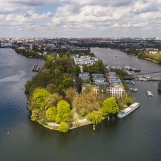
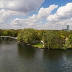
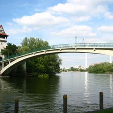
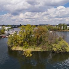
Rummelsburg is a district in Lichtenberg situated between the railway ring near Ostkreuz station and Blockdammweg. The area borders the Spree River and Rummelsburger Lake at approximately 40 meters elevation.

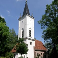
The settlement began in 1669 as a brick factory, later purchased by wine merchant Johann Jakob Rummel who established an inn there. His name became tied to the area and shaped its development from a trading place.

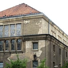
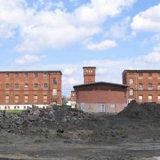
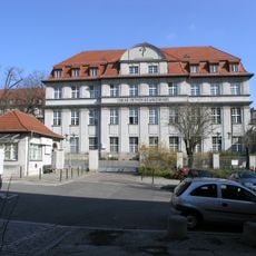
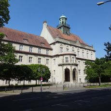
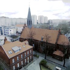
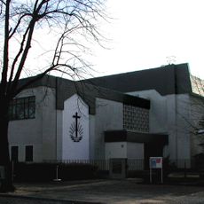
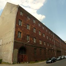
The area displays layers of its complex past as historic structures stand alongside contemporary housing. Visitors can read the transformation from industrial to residential use in the architecture, which reflects different periods and purposes.

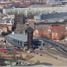
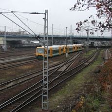
The district is accessible via S-Bahnhof Rummelsburg with connections to tram line 21 and buses 194, 240, N40, and N94. The station features elevators and ticket machines for convenient arrival.

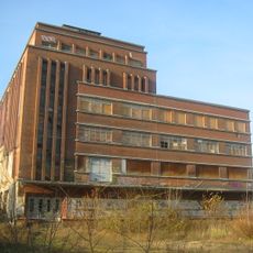
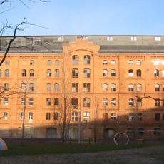
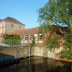
The Klingenberg power plant, opened in 1925, continues to supply the city with significant amounts of electricity and heat. The district's industrial roots remain visible and shape its character today.

The community of curious travelers

AroundUs brings together thousands of curated places, local tips, and hidden gems, enriched daily by 60,000 contributors worldwide.

Start exploring
Location
Elevation above the sea
40 m
Shares border with
Lichtenberg, Friedrichsfelde, Karlshorst, Friedrichshain, Plänterwald, Oberschöneweide
GPS coordinates
52.50000,13.49250
Latest update
December 7, 2025 19:26
« Rummelsburg - Industrial district in Lichtenberg, Germany » is provided by Around Us (aroundus.com). Images and texts are derived from Wikimedia project under a Creative Commons license. You are allowed to copy, distribute, and modify copies of this page, under the conditions set by the license, as long as this note is clearly visible.

Discover hidden gems everywhere you go!

From secret cafés to breathtaking viewpoints, skip the crowded tourist spots and find places that match your style. Our app makes it easy with voice search, smart filtering, route optimization, and insider tips from travelers worldwide. Download now for the complete mobile experience.

Around Us App Screenshot

A unique approach to discovering new places

Le Figaro

All the places worth exploring

France Info

A tailor-made excursion in just a few clicks

20 Minutes

Around Us
Travel Guide & Maps
Download

Send to your phone

QR Code
1

Open the camera app on your mobile.

2

Point at the QR code with your camera. A notification will appear.

3

Tap the notification to open the link.