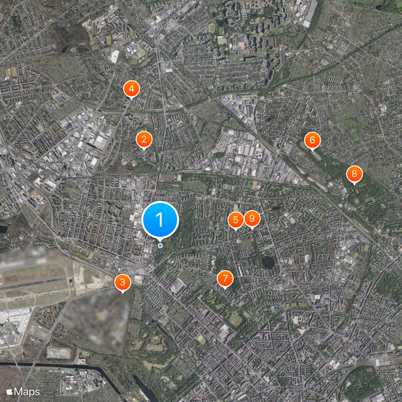
Reinickendorf, Administrative district in northern Berlin, Germany
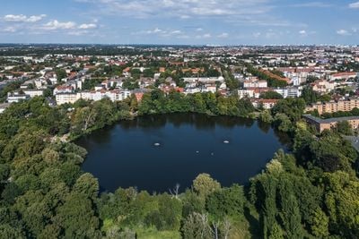
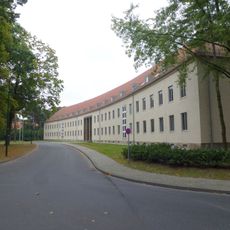
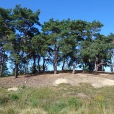
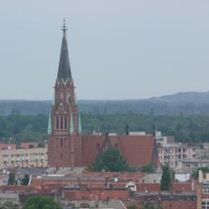
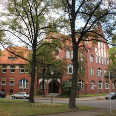
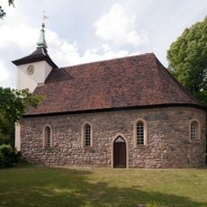
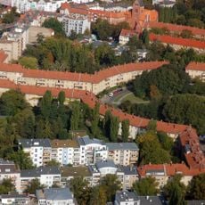
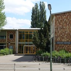
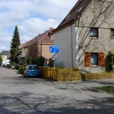
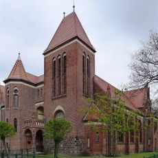
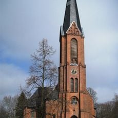
Reinickendorf is an administrative district in northern Berlin comprising several neighborhoods with distinct characters and functions. The district balances residential areas, commercial zones, and open spaces including lakes and parks scattered throughout its expanse.
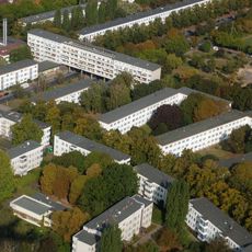
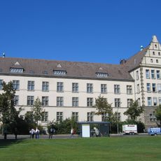
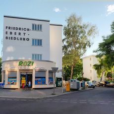
The district was created in 1920 through the merger of several communities and took its name from an early medieval settlement. Following its formation, the area rapidly developed into a residential zone featuring modern housing estates.
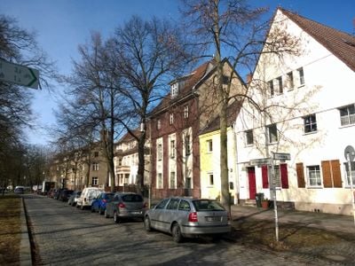
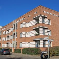
The Gartenstadt Frohnau displays distinctive residential architecture with spacious villas and gardens that developed from 1908 based on English garden city principles. Walking through the neighborhood, you notice the wide tree-lined streets and the relaxed, orderly layout that still shapes how people live there.
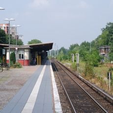
The district is accessible by multiple public transit lines connecting to central Berlin, with regular service throughout the day. The relatively flat terrain makes it easy to explore by bicycle, with numerous parks and green paths linking the neighborhoods.
Tegel Airport, which served as one of Berlin's main airports for decades, was located within the district and shaped its development. The site is now being transformed into new neighborhoods and green spaces.
Location: Reinickendorf
Elevation above the sea: 42 m
Shares border with: Tegel, Wittenau, Gesundbrunnen, Wedding, Niederschönhausen, Wilhelmsruh, Borsigwalde, Pankow
GPS coordinates: 52.56670,13.33330
Latest update: December 20, 2025 15:36
Karl-Bonhoeffer-Nervenklinik
1.7 km
Julius-Leber-Kaserne
1 kmStädtische Nervenklinik für Kinder und Jugendliche Wiesengrund
2.6 km
Weiße Stadt
1.3 km
Soviet War Memorial Schönholzer Heide
3.1 km
Siedlung Schillerpark
1.4 km
Volkspark Schönholzer Heide
3.6 km
Friedrich-Engels-Gymnasium
1.6 km
Berlin-Tegel Russian Orthodox Cemetery
2.5 km
Berlin-Schönholz station
3.3 km
Friedrich-Ebert-Siedlung
946 m
Centre Français de Berlin
999 m
Sanddüne Wedding
631 m
Stephanuskirche
3.7 km
BVG-Autobus-Betriebshof mit Wohnanlage
754 m
Eichborndamm station
1.6 km
OP-Bunker Teichstraße
1.2 km
St. Konstantin und Helena-Kirche
2.5 km
Berlin Alt-Reinickendorf station
1.7 km
Rathaus Reinickendorf
2.6 km
Hausotter-Grundschule
2.8 km
Dorfkirche Reinickendorf
1.6 km
Breitkopfbecken
2.1 km
Kolumbus-Grundschule
2.4 km
Gustav-Freytag-Schule
2.2 km
Luisenhof-Siedlung
1.7 km
Lutherkirche Berlin-Wilhelmsruh
3.3 km
Segenskirche
775 mVisited this place? Tap the stars to rate it and share your experience / photos with the community! Try now! You can cancel it anytime.
Discover hidden gems everywhere you go!
From secret cafés to breathtaking viewpoints, skip the crowded tourist spots and find places that match your style. Our app makes it easy with voice search, smart filtering, route optimization, and insider tips from travelers worldwide. Download now for the complete mobile experience.
A unique approach to discovering new places❞
— Le Figaro
All the places worth exploring❞
— France Info
A tailor-made excursion in just a few clicks❞
— 20 Minutes