Enable Location

We need your location to show you interesting places around you

Discover nearby places

Find interesting locations and hidden gems around you

Precise directions

Get accurate directions and distances to places

Your location is never shared with other users. It's only used when you tap the location button.

Tegel

Log in to your account

Start exploring — it's free

Trusted by 62,284 travelers worldwide

Continue with Google
Continue with Apple
or

We will send you a code to connect

By continuing, you accept our Terms and Conditions and our Privacy Policy

Check your inbox

We've sent a pincode in your inbox. Please enter the code below.

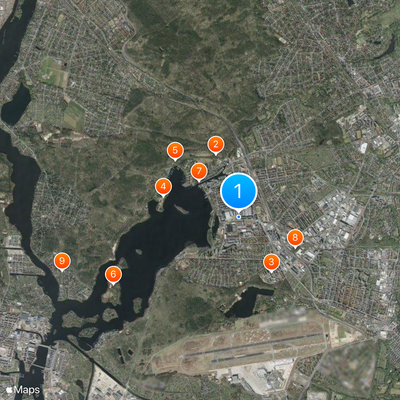
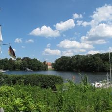
Tegel, District in northern Reinickendorf, Berlin, Germany

Tegel is a neighborhood in northern Berlin that once served as the city's main airport until 2020 and now undergoes large-scale redevelopment. The former airfield and terminal areas are being transformed into residential and educational spaces.

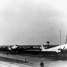
The site gained importance in 1948 when Allied forces built an airfield to supply West Berlin during the Soviet blockade. This temporary wartime solution evolved into a civilian airport that served the city for generations.

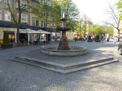
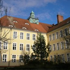
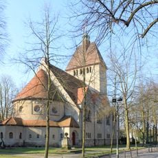
The neighborhood bears traces of its airport past in its street layouts and buildings, shaping how people experience the space today. Residents and visitors witness an active transformation where heritage structures and new developments exist side by side.

Parts of the area are accessible to visitors, though many sections remain under construction and may be cordoned off. Walking through shows the ongoing changes in infrastructure and land use across the former airfield.

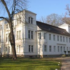
The original main terminal remains intact and is being repurposed as an events and learning center rather than demolished. Its architecture still tells the story of when this was an important international travel hub.

The community of curious travelers

AroundUs brings together thousands of curated places, local tips, and hidden gems, enriched daily by 60,000 contributors worldwide.

Start exploring
Location
Elevation above the sea
36 m
Shares border with
Konradshöhe, Frohnau, Waidmannslust, Charlottenburg-Nord, Reinickendorf, Wedding, Siemensstadt, Wittenau, Haselhorst, Heiligensee, Borsigwalde
GPS coordinates
52.58330,13.28330
Latest update
December 20, 2025 00:50
« Tegel - District in northern Reinickendorf, Berlin, Germany » is provided by Around Us (aroundus.com). Images and texts are derived from Wikimedia project under a Creative Commons license. You are allowed to copy, distribute, and modify copies of this page, under the conditions set by the license, as long as this note is clearly visible.

Discover hidden gems everywhere you go!

From secret cafés to breathtaking viewpoints, skip the crowded tourist spots and find places that match your style. Our app makes it easy with voice search, smart filtering, route optimization, and insider tips from travelers worldwide. Download now for the complete mobile experience.

Around Us App Screenshot

A unique approach to discovering new places

Le Figaro

All the places worth exploring

France Info

A tailor-made excursion in just a few clicks

20 Minutes

Around Us
Travel Guide & Maps
Download

Send to your phone

QR Code
1

Open the camera app on your mobile.

2

Point at the QR code with your camera. A notification will appear.

3

Tap the notification to open the link.