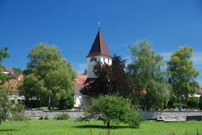
Herbrechtingen, municipality in Germany
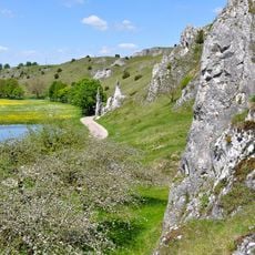
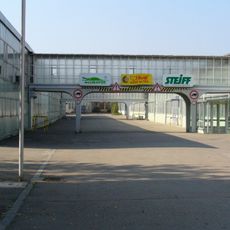
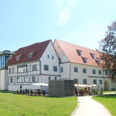
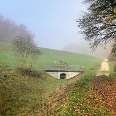
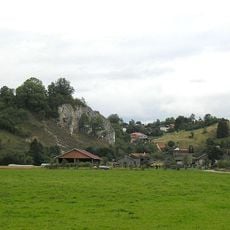
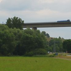
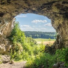
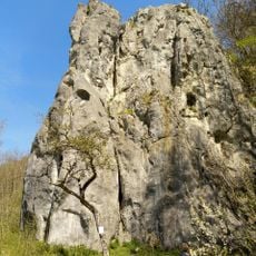
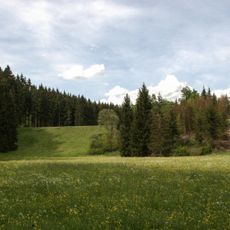
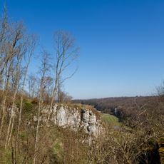
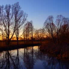
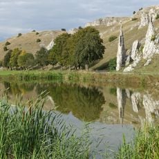
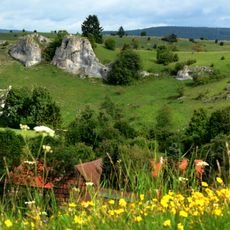
Herbrechtingen is a small city in the Heidenheim district of Germany and an administrative municipality with several districts including Eselsburg, Bernau, and Bolheim. The Brenz River flows through the area, creating valleys with rocky cliffs and meadows, while the city offers modern facilities such as a stadium, leisure pool, and various sports centers.
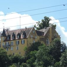
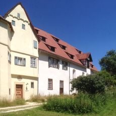
Herbrechtingen was first recorded in written documents in 774, making it one of the oldest settlements in the region. In the 8th century it received a monastery from Charlemagne, and in the 12th century Emperor Friedrich Barbarossa built a new monastery that brought renewed growth to the town.
The name Herbrechtingen may derive from a nobleman named Graf Charibert from the 7th century, reflecting the town's deep roots. Local traditions and community celebrations are woven into the town's identity, connecting residents and visitors to the past through ongoing cultural life.
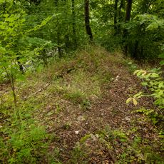
The city is easy to reach, located near major roads with train and bus connections available. Visitors will find sports facilities, hiking trails in the Eselsburger Tal valley, and parks for relaxation, making it an accessible destination for day trips and weekend visits.
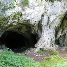
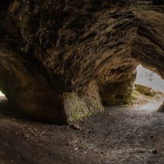
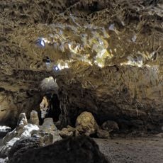
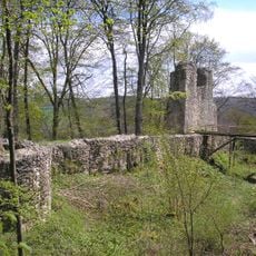
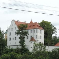
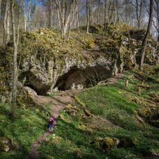
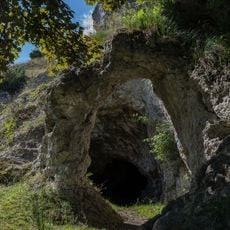
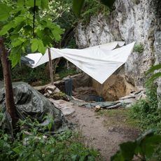
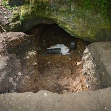
Archaeological finds show that people have lived in the area around Herbrechtingen since the Stone Age, long before the city itself was founded. The Eselsburger Tal valley area also contains remains of medieval castles such as Eselsburg, Falkenstein, and Higenbach that visitors can discover while hiking.
The community of curious travelers
AroundUs brings together thousands of curated places, local tips, and hidden gems, enriched daily by 60,000 contributors worldwide.