Rammelsberg, Summit and National Geotope in Goslar, Germany
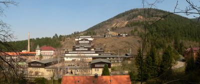
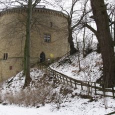
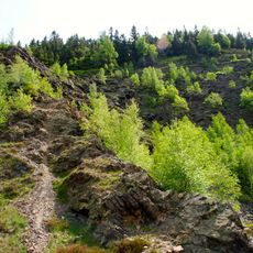
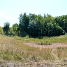
Rammelsberg is a mountain on the northern edge of the Harz range in Lower Saxony, designated as a National Geotope and reaching approximately 635 meters high. The rock formations visible on its slopes reveal mineral layers that reflect centuries of geological and mining activity.
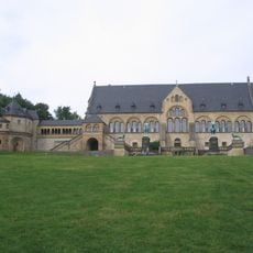
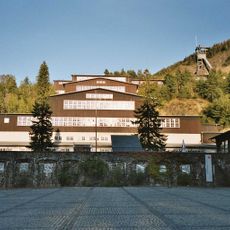
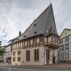
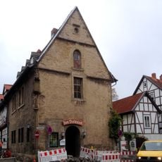
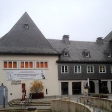
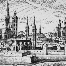
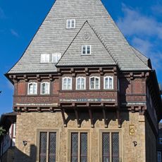
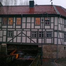
Mining on the mountain began in the 7th century and continued for over 1,000 years until closure in 1988, making it one of Europe's longest-operating mines. The wealth from these operations helped establish Goslar as an imperial seat and key trading center in the medieval period.
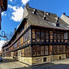
The mountain shaped the daily life and economy of nearby communities for over a thousand years, with mining defining family trades and local identity. Visitors can see this heritage reflected in old buildings and public spaces that tell the story of people who worked the earth for generations.
Several hiking trails access the summit and geological features, ranging from gentle walks to steeper paths depending on your fitness level. Bring sturdy shoes and be prepared for sudden weather changes at higher elevations.
Beneath the surface lies an enormous network of tunnels and chambers spanning several kilometers, with portions now open to visitors who want to explore the mines. Walking through these underground passages gives a visceral sense of the physical demands miners faced and the scale of extraction operations over centuries.
The community of curious travelers
AroundUs brings together thousands of curated places, local tips, and hidden gems, enriched daily by 60,000 contributors worldwide.