La Micoque, Archaeological site in Les Eyzies, France.
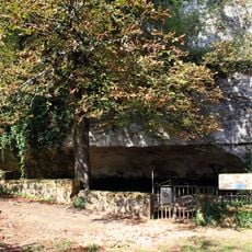
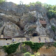
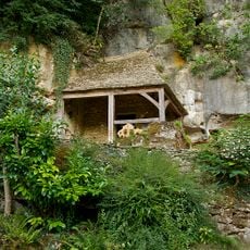
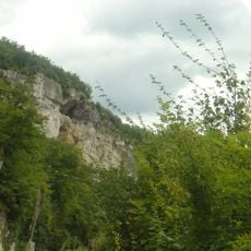
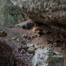
La Micoque is an open-air prehistoric site at the foot of a small limestone wall on the left bank of the Manaurie stream, about 600 m upstream from its confluence with the Vézère. The photograph shows an eroded cross-section of reddish-brown soil over pale beige and cream layers cut by horizontal bands, turning gray and blocky at the base, with a dark beamed and corrugated roof above. The entrance faces southwest.
In 1895 a farmer ploughing his field noticed retouched stones and alerted Pierre Fournier of Laugerie-Haute; Gustave Chauvet then began research. Louis Capitan, Édouard Harlé and Denis Peyrony dug between 1896 and 1898, and Otto Hauser leased the deposit from 1906. After the state bought the site, Peyrony excavated from 1929 to 1932 and identified fifteen layers, six of them archaeological.
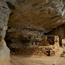
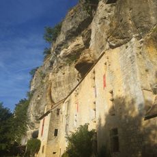
The site takes its name from a ruined farmstead called La Micoque, not from a word for hollow. It is the type locality of the Micoquien, a stone-tool industry named after it, and of the Tayacien defined by Henri Breuil in layers 4 and 5. Visitors can see the cut left by excavations in the slope beneath the protective roof.
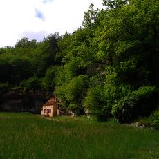
The deposit lies in the open at the foot of a small limestone wall, on the left bank of the Manaurie about 600 m upstream from its confluence with the Vézère, roughly 2.7 km north-northwest of Les Eyzies. The entrance faces southwest. Laugerie-Haute is 600 m to the southwest; Laugerie-Basse and the Grand Roc are 1.2 km in the same direction.
The site gave its name to the Micoquien, a stone-tool industry defined from tools found at the base of its upper layer, and also served to characterise the Tayacien. Its finely worked elongated hand axes, with slightly concave edges, thick bases and fine tips, are among the oldest stone tools in the Périgord.
The community of curious travelers
AroundUs brings together thousands of curated places, local tips, and hidden gems, enriched daily by 94,657 contributors worldwide.