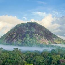
Mont Yanioué, Mountain summit in French Guiana, France
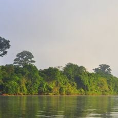
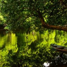
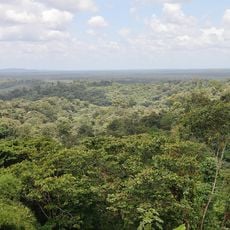
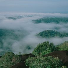
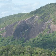
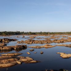
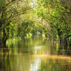
Mont Yanioué is a mountain in French Guiana that rises to 762 meters above sea level and sits within the dense rainforest landscape. The slopes are steep and covered entirely with tropical vegetation that extends across the entire terrain.
The mountain formed as part of the ancient Guiana Shield through geological processes that occurred over millions of years. These same processes shaped the broader landscape of northern South America.
Local people use the mountain as a landmark for finding their way through the rainforest and it holds meaning in how they understand their surroundings. The peak serves as a natural reference point woven into daily life and navigation practices.
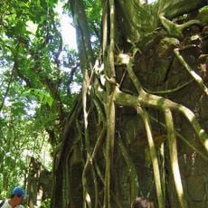
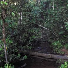
Access is provided by the Layon de Galbao trail, which requires sturdy footwear and plenty of water for the journey. Be prepared for wet conditions in the rainforest and allow sufficient time for the challenging route.
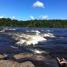
The mountain has a prominence of 563 meters from the surrounding landscape and stands among the higher peaks of the region. Despite its elevation, the summit remains less visited than other rainforest destinations in the area.
Location: French Guiana
GPS coordinates: 3.10306,-52.72634
Latest update: December 15, 2025 13:28
Guiana Amazonian Park
119.9 km
Tumucumaque National Park
120.5 km
Parque Arqueológico do Solstício
203.1 km
Franco-Brazilian Binational Bridge
130.6 km
Camp Crique Anguille
193.8 km
Cabo Orange National Park
200 km
Bellevue de l'Inini
106 km
Kaw-Roura Marshes National Nature Reserve
180.8 km
Nouragues Nature Reserve
176.7 km
Fort Diamant
203.8 km
Montagne d'Argent
183.6 km
Monte Carupina
129.1 km
St. Anthony of Padua Church, Saül
79 km
Trésor Regional Nature Reserve
175 km
Église Saint-Jean-Baptiste de Montsinéry
200.8 km
La Trinité National Nature Reserve
109.5 km
Habitation Vidal
202 km
Réserve naturelle nationale du mont Grand Matoury
199.3 km
Serpent de Pascaud
202.1 km
Église Saint-Dominique de Roura
186 km
Roches gravées de la Montagne Favard
173.3 km
Église Saint-Louis de Tonnégrande
200.8 km
Église Saint-Étienne de Régina
150.1 km
Église Hmong de Cacao
166.3 km
Abattis Kotika
201.9 km
Canal de Kaw
174.5 km
Sentier Molokoï
165.2 km
Saut Maripa (busay)
121.6 kmVisited this place? Tap the stars to rate it and share your experience / photos with the community! Try now! You can cancel it anytime.
Discover hidden gems everywhere you go!
From secret cafés to breathtaking viewpoints, skip the crowded tourist spots and find places that match your style. Our app makes it easy with voice search, smart filtering, route optimization, and insider tips from travelers worldwide. Download now for the complete mobile experience.
A unique approach to discovering new places❞
— Le Figaro
All the places worth exploring❞
— France Info
A tailor-made excursion in just a few clicks❞
— 20 Minutes