Pic du Clapier du Peyron, Mountain summit in Le Bourg-d'Oisans, France.
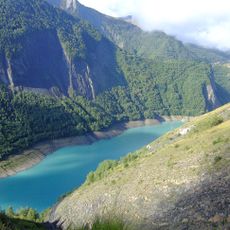
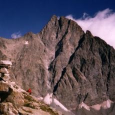
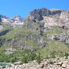
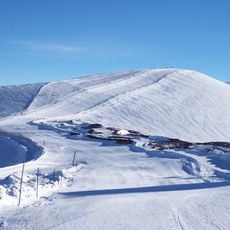
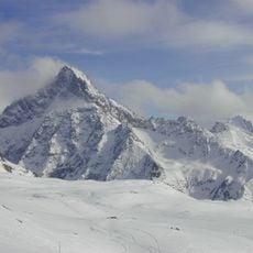
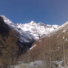
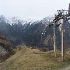
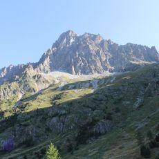
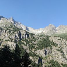
Pic du Clapier du Peyron is a mountain summit in the French Alps located between Le Bourg-d'Oisans and Valjouffrey at approximately 2,476 meters elevation. The peak sits in terrain marked by rocky slopes, alpine meadows, and stone cairns that guide walkers through the landscape.
Shepherd routes developed across this mountain during the 19th century as herds moved seasonally through the high pastures. The pathways they created became the foundation for modern trekking routes in the area.
Local mountaineers traditionally gather at the Muzelle refuge before ascending Pic du Clapier du Peyron, sharing experiences and mountain knowledge.
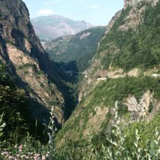
The hike to the summit takes about 4 to 5 hours through mixed terrain with stone markers along the way. Summer months from July through September offer the most favorable conditions for safe and clear trekking.
The summit sits at the boundary where three separate communes meet, serving as a natural geographical marker for the region. This tri-border location gives the peak a special significance for local geography and territorial identity.
The community of curious travelers
AroundUs brings together thousands of curated places, local tips, and hidden gems, enriched daily by 60,000 contributors worldwide.