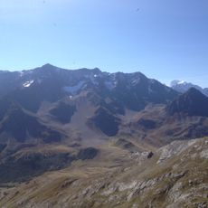
Pic de la Ponsonnière, Alpine summit in Provence-Alpes-Côte d'Azur, France
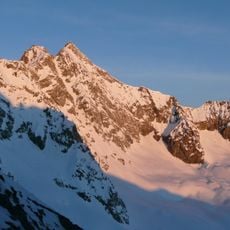
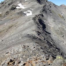
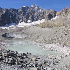
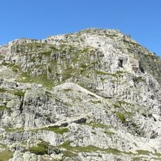
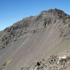
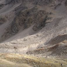
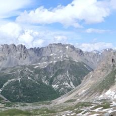
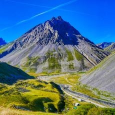
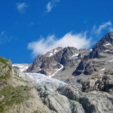
Pic de la Ponsonnière is a mountain summit in southeastern France with steep slopes and exposed rock formations along the climbing route. The terrain shows typical Alpine features including bare stone faces and sparse vegetation as elevation increases.
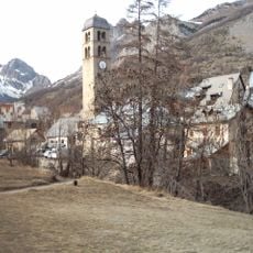
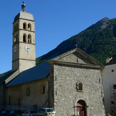
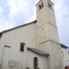
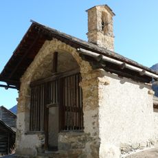
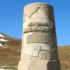
The surrounding mountain region served as a natural dividing line between territories during the medieval period and Alpine conflicts. This location shaped how the area was used and controlled over time.
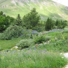
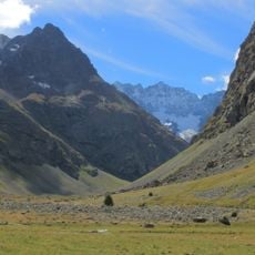
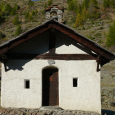
Shepherds move their flocks to the high meadows here each summer, following practices that have shaped the landscape for centuries. This seasonal movement remains an important part of how people use the Alpine region.
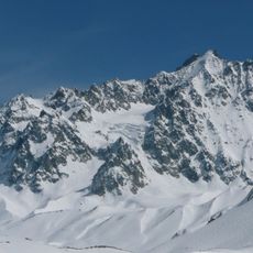
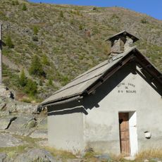
The climb is possible from June through September when weather conditions are stable and marked trails remain reliably passable. Visitors should wear proper footwear and bring protection against sudden weather changes, as conditions in high altitude shift quickly.
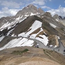
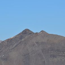
On clear days, the summit offers sightlines to several Alpine peaks across the French-Italian border. This wide perspective made the location historically valuable for monitoring weather patterns and regional changes.
Location: Provence-Alpes-Côte d'Azur
GPS coordinates: 45.04259,6.45523
Latest update: December 15, 2025 13:23
Pic de Neige Cordier
11 km
Roche du Chardonnet
9.9 km
Grand Galibier
2.9 km
Lautaret Garden
4.4 km
Glacier d'Arsine
9.6 km
Ouvrage Les Rochilles
5.4 km
Pic Ombière
6.4 km
Les Agneaux
10.5 km
Réserve naturelle nationale des pics du Combeynot
4.5 km
Aiguillette du Lauzet
3.2 km
Rocher de la Grande Tempête
9.1 km
Église Notre-Dame-de-l'Assomption de Monêtier-les-Bains
8.4 km
Laurichard Glacier
5.2 km
Pic de Chamoissière
9.4 km
Église Saint-Claude du Casset
6.6 km
Église du Saint-Esprit des Guibertes
10.5 km
Rochers de la Grande Paré
6.4 km
Chapelle Saint-Pierre de Monêtier-les-Bains
8.5 km
Chapelle Sainte-Barbe de Névache
10.5 km
Chapelle Notre-Dame-de-Bon-Secours de Lacou
10.7 km
Col du Bec
10.3 km
Bench
6.5 km
Chapelle Sainte-Marie de Foncouverte
7.4 km
Monument Henri-Desgrange
4.5 km
Église Saint-Martin de Villar-d'Arêne
9.4 km
Église Notre-Dame-des-Neiges de Bonnenuit
9 km
Roche Olvéra
6 km
Pic du Glacier d'Arsine
10.8 kmVisited this place? Tap the stars to rate it and share your experience / photos with the community! Try now! You can cancel it anytime.
Discover hidden gems everywhere you go!
From secret cafés to breathtaking viewpoints, skip the crowded tourist spots and find places that match your style. Our app makes it easy with voice search, smart filtering, route optimization, and insider tips from travelers worldwide. Download now for the complete mobile experience.
A unique approach to discovering new places❞
— Le Figaro
All the places worth exploring❞
— France Info
A tailor-made excursion in just a few clicks❞
— 20 Minutes