
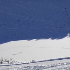
Téléphérique de Beauregard, ancien téléphérique en France
Location: La Clusaz
Inception: 1955
Length: 1,570 m
GPS coordinates: 45.90321,6.42224
Latest update: September 18, 2025 12:30
Lac des Confins
4.4 km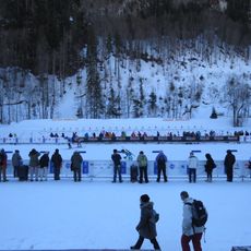
Sylvie Becaert Biathlon Stadium
4.3 km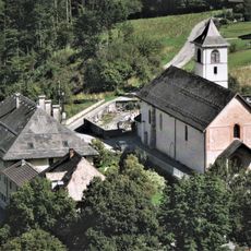
Abbaye d'Entremont
6.6 km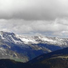
Mont Lachat
6.2 km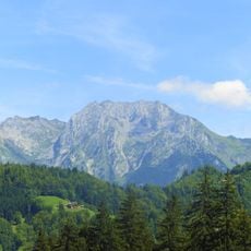
Étale
6.3 km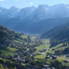
Vallée du Bouchet
5 km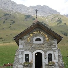
Chapelle Sainte-Anne des Aravis
4.8 km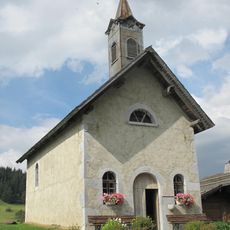
Chapelle des Confins
4.7 km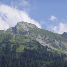
Pointe de Merdassier
4.6 km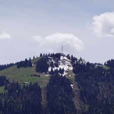
Télécabine de Beauregard
5 m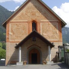
Église Notre-Dame-de-Tous-les-Saints d'Entremont
6.5 km
Roualle
6.2 km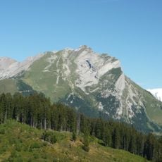
Aiguille de Borderan
4.7 km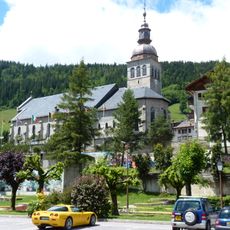
Église Notre-Dame-de-l'Assomption du Grand-Bornand
4.4 km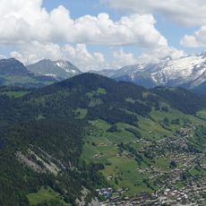
Tête du Danay
2.9 km
Tête Pelouse
6.8 km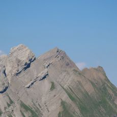
Grande Balmaz
5.9 km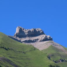
Parrossaz
5.1 km
Maison du patrimoine bornandin
4.3 km
Pointes de la Blonnière
5.5 km
Tête de Cabeau
4.1 km
Chalet de Paccaly
6.2 km
Maison du patrimoine bornandin
4.3 km
Scenic viewpoint
1.6 km
Golf des Confins
4.8 km
Scenic viewpoint
2.7 km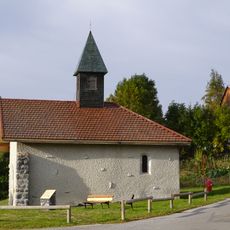
Chapelle Saint-Claude de Forgeassoud
3.2 km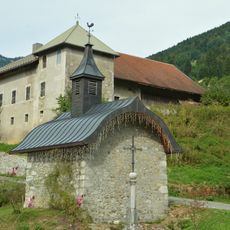
Chapelle Notre-Dame de la Rivière
6 kmReviews
Visited this place? Tap the stars to rate it and share your experience / photos with the community! Try now! You can cancel it anytime.
Discover hidden gems everywhere you go!
From secret cafés to breathtaking viewpoints, skip the crowded tourist spots and find places that match your style. Our app makes it easy with voice search, smart filtering, route optimization, and insider tips from travelers worldwide. Download now for the complete mobile experience.

A unique approach to discovering new places❞
— Le Figaro
All the places worth exploring❞
— France Info
A tailor-made excursion in just a few clicks❞
— 20 Minutes