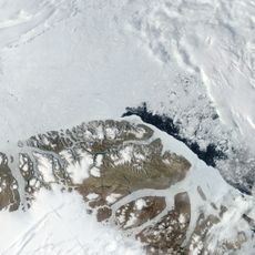
Kaffeklubben Island, Arctic island in Northeast Greenland National Park, Greenland
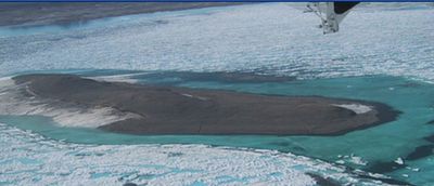
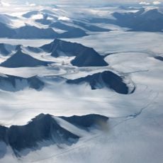
Kaffeklubben Island is an Arctic landform in Northeast Greenland National Park positioned at 83.6 degrees north latitude. The exposed rock measures 700 meters across its longest axis and rises 30 meters above sea level.
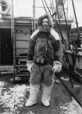
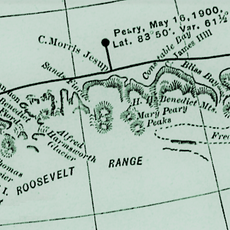
Robert E. Peary sighted the landform in 1900 during his Arctic journey and recorded its coordinates. Danish explorer Lauge Koch named it in 1921 after returning to verify its position.
The name traces back to informal gatherings at a Copenhagen museum where researchers met over coffee between expeditions. This Danish label remains unchanged and reflects the Nordic tradition of polar exploration.
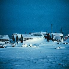
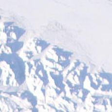
Journeys to this region demand vessels reinforced for ice navigation and months of logistical planning due to shifting pack ice and subzero conditions. Visitors should expect continuous snow cover and near-total darkness during winter months.
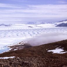
Biologists established a vegetation study post in 2023 to document Arctic poppies and rare moss species thriving here. These plant communities survive with just a few weeks of growing season each year under extreme conditions.
The community of curious travelers
AroundUs brings together thousands of curated places, local tips, and hidden gems, enriched daily by 60,000 contributors worldwide.