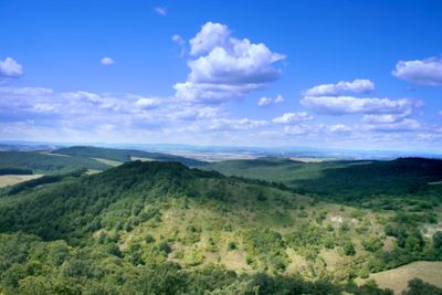
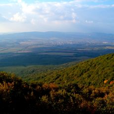
Cserhát, Mountain range in Nógrád County, Hungary
The Cserhát range extends across Pest and Nógrád counties with forests dominating the central region and hills characterizing the northern and southern sections. The highest peak, Karancs, rises to approximately 729 meters.
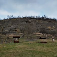
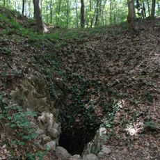
The mountain range formed through volcanic activity during the Miocene period, shaping the landscape and geological layers visible today. This geological history influenced where people later settled and built their communities.
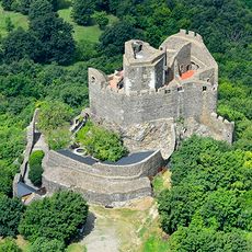
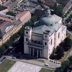
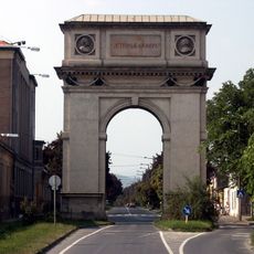
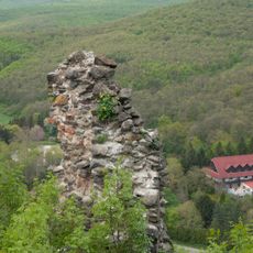
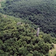
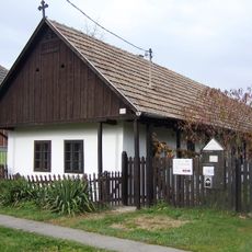
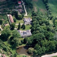
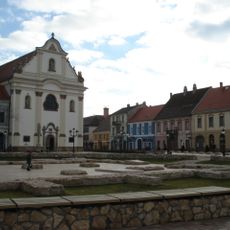
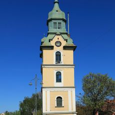
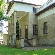
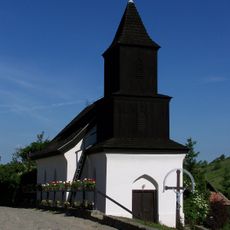
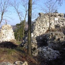
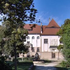
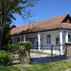
The region contains several medieval castles and the village of Hollókő, which displays traditional Hungarian rural architecture and farming practices still visible in the landscape. These places reflect how people have lived and worked the land across generations.
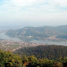
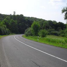
Multiple marked hiking trails connect the mountain settlements and provide access to natural areas and archaeological sites throughout the range. The trails remain accessible in most seasons, making exploration possible year-round.
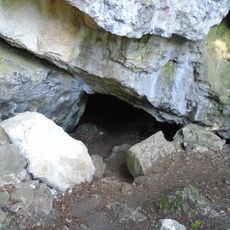
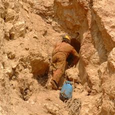
The range contains deposits of brown coal and limestone that shaped local industrial development and where communities grew. These resources drew workers and led to the establishment of factories and mining operations throughout various valleys.
The community of curious travelers
AroundUs brings together thousands of curated places, local tips, and hidden gems, enriched daily by 60,000 contributors worldwide.