Enable Location

We need your location to show you interesting places around you

Discover nearby places

Find interesting locations and hidden gems around you

Precise directions

Get accurate directions and distances to places

Your location is never shared with other users. It's only used when you tap the location button.

Kozhikode taluk

Log in to your account

Start exploring — it's free

Trusted by 61,827 travelers worldwide

Continue with Google
Continue with Apple
or

We will send you a code to connect

By continuing, you accept our Terms and Conditions and our Privacy Policy

Check your inbox

We've sent a pincode in your inbox. Please enter the code below.

Kozhikode taluk, Administrative division in Kerala, India

Description

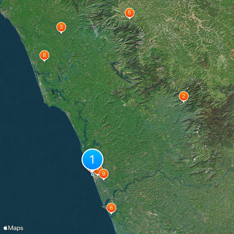
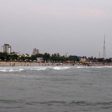
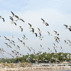
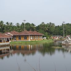
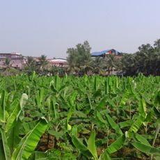
Kozhikode taluk is an administrative unit in Kerala that covers several villages and settlements along the Arabian Sea coast. The area sits partly on flat terrain and partly on gentle hills, with residential neighborhoods, fields, and smaller towns spread across the region.

History

The administrative unit was created in January 1957 following the formation of Kerala state the year before. This reorganization brought together different settlements and villages under a single administration.

Culture

The administrative region incorporates several legislative assembly constituencies, including Kozhikode North, Kozhikode South, and Kunnamangalam, representing diverse local communities.

Practical

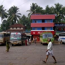
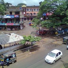
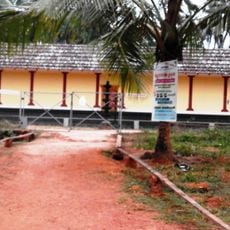
The region has several schools, health centers, and bus stops that serve the daily needs of residents and travelers passing through. Those exploring the area will find smaller shops and markets along main roads where water and snacks are available.

Did you know?

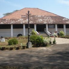
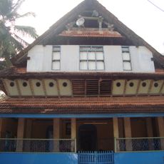
The city of Kozhikode served for centuries as a major seaport for spice trade with Arabian merchants and Chinese ships. Travelers can still find traces of this past in older neighborhoods, with old warehouses and narrow lanes near the harbor.

Inception
January 1, 1957
Capital city
Kozhikode
Elevation above the sea
127 m
Shares border with
Kannur district, Malappuram district, Wayanad district, Mahé district
GPS coordinates
11.25000,75.77000
Latest update
December 13, 2025 19:10

AroundUs brings together thousands of curated places, local tips, and hidden gems, enriched daily by 60,000 contributors worldwide. Discover all places nearby (Kozhikode district).

« Kozhikode taluk - Administrative division in Kerala, India » is provided by Around Us (aroundus.com). Images and texts are derived from Wikimedia project under a Creative Commons license. You are allowed to copy, distribute, and modify copies of this page, under the conditions set by the license, as long as this note is clearly visible.

Discover hidden gems everywhere you go!

From secret cafés to breathtaking viewpoints, skip the crowded tourist spots and find places that match your style. Our app makes it easy with voice search, smart filtering, route optimization, and insider tips from travelers worldwide. Download now for the complete mobile experience.

Around Us App Screenshot

A unique approach to discovering new places

Le Figaro

All the places worth exploring

France Info

A tailor-made excursion in just a few clicks

20 Minutes

Around Us
Travel Guide & Maps
Download

Send to your phone

QR Code
1

Open the camera app on your mobile.

2

Point at the QR code with your camera. A notification will appear.

3

Tap the notification to open the link.