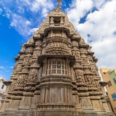
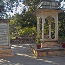
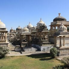
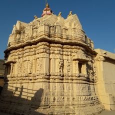
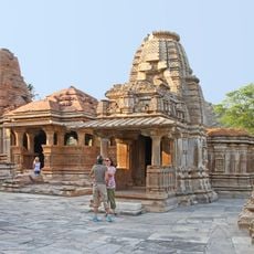
Udaipur district, Administrative district in Rajasthan, India
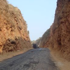
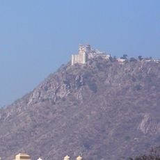
Udaipur district is an administrative division in Rajasthan with varied landscapes, ranging from forested hills in the west to flat plains in the east. The terrain shifts between elevated plateaus in the north and lower areas, creating a mix of geography across the region.
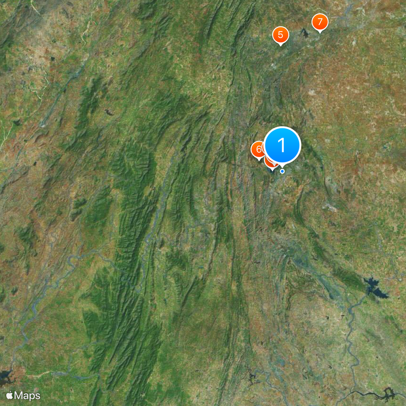
The district took shape in 1948 when Rajasthan was formed from the former Mewar State, bringing together land from Girwa district and other smaller areas. This merger created the current boundaries and administrative structure that exist today.
Local people speak mainly Mewari and Wagdi languages in their daily lives, with Mewari being the most widely used. These languages shape how the community connects and communicates with the region around them.
The area is best reached from major towns and cities, with roads and local transport providing the main connections. The best time to visit is outside the heavy monsoon and summer months, when weather is more comfortable for exploring.
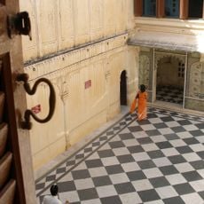
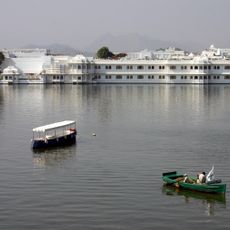
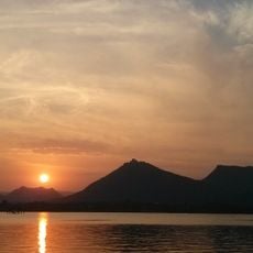
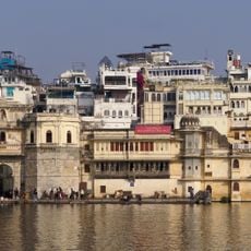
The area has a network of five artificial lakes that connect to one another and store water for farming. These lakes also help replenish groundwater and play an important role in local water management.
The community of curious travelers
AroundUs brings together thousands of curated places, local tips, and hidden gems, enriched daily by 60,000 contributors worldwide.