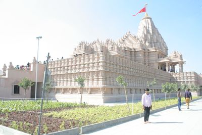
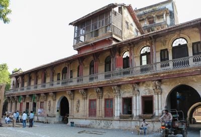
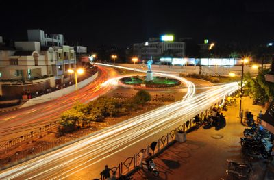
Rajkot district, Administrative district in Saurashtra peninsula, Gujarat, India
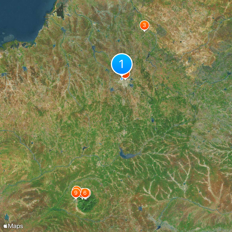
Rajkot district is an administrative region on the Saurashtra peninsula that spans roughly 11,200 square kilometers (4,300 square miles) across multiple towns and villages. The area divides into eleven administrative subdivisions that together accommodate a large population.
This district formed as part of Saurashtra State following Indian independence in 1948. It later merged into Bombay State and joined Gujarat in 1960 as the nation reorganized its states.
The population includes 91 percent Hindu and 7 percent Muslim communities, with Gujarati language speakers representing 96 percent of district residents.
The district has hospitals and medical facilities in larger towns that provide basic healthcare services to residents and visitors. Banks and schools are scattered throughout the region, making it easier to access essential services in most areas.
Rajkot district ranks third in advancement among Gujarat districts and fourth in population, featuring an airport connecting to major Indian metropolitan centers.
The community of curious travelers
AroundUs brings together thousands of curated places, local tips, and hidden gems, enriched daily by 60,000 contributors worldwide.