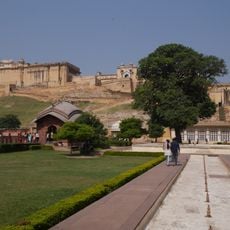
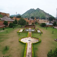
Laxmangarh, town in Sikar district, Jaipur division, Rajasthan, India
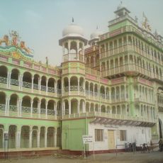
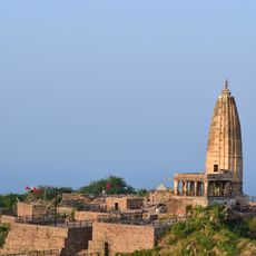
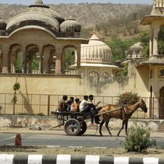
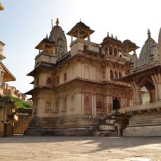
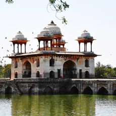
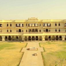
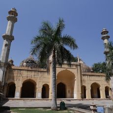
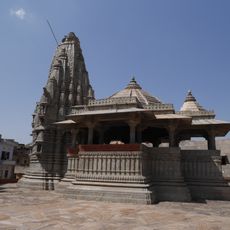
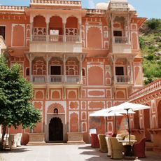
Laxmangarh is a small town built around a rocky hill in Sikar district, with narrow streets and simple houses featuring painted walls and decorated windows. The settlement includes old buildings, temples, and havelis that reflect the traditional architecture and craftsmanship of the region.
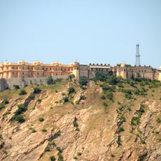
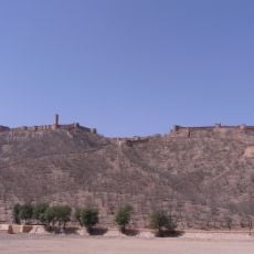
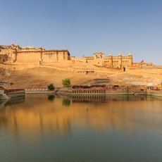
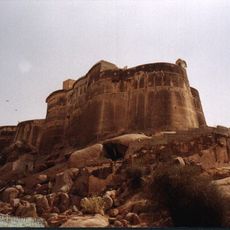
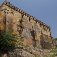
The town was founded in 1862 by Rao Raja Laxman Singh, who built the fort as protection for the settlement and surrounding trade routes. The fort served as a defensive structure in the Shekhawati region to control caravan passages between Delhi and western Rajasthan.
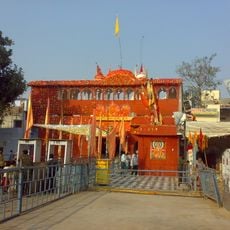
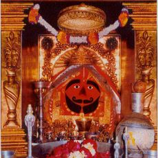
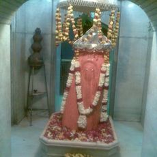
The town is part of Shekhawati region, known for its painted houses with detailed wall murals showing everyday scenes and folk stories. Local temples are woven into daily life, with residents gathering for prayer and celebrations that form the rhythm of community.
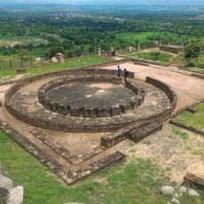
The town is easily accessible by car or bus, about 30 minutes from Sikar, with good road connections from Jaipur and Delhi. The fort is private property viewable from outside, while the temple climb requires sturdy footwear on steep, rocky ground.
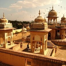
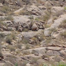
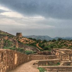
The fort follows the natural shape of the rocky hill rather than cutting it into straight lines, giving it a distinctive appearance unlike typical fortifications. The walls curve and tilt along the hill's contours, making it structurally adapted to the landscape.
The community of curious travelers
AroundUs brings together thousands of curated places, local tips, and hidden gems, enriched daily by 60,000 contributors worldwide.