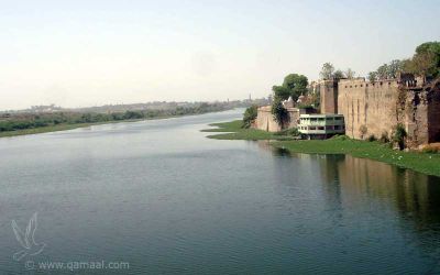
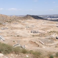
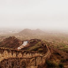
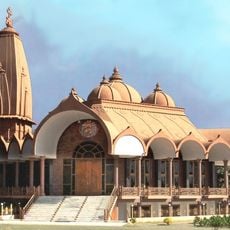
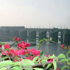
Machchhu River, River in Gujarat, India
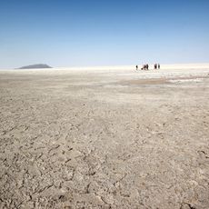
The Machchhu River is a waterway flowing through Gujarat for about 130 kilometers, originating in the local hills. It merges with several smaller tributaries as it moves across the landscape and eventually reaches the salt marshes to the north.
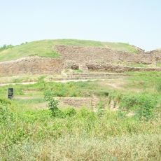
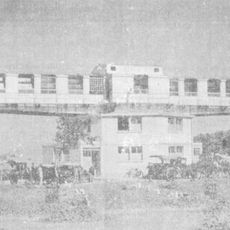
The river has been a water source for centuries, but in 1979 the Machchhu Dam-II suddenly failed and caused one of India's worst flood disasters. This catastrophic event transformed how people in the region approached water management and dam safety.
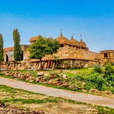
The river is vital to farming communities across the districts it passes through, shaping how people rely on water for their fields and daily needs. Walking along the banks, you'll notice irrigation channels, wells, and simple structures where locals gather water for crops and livestock.
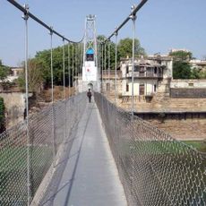
The river is best visited during and after the monsoon months when water levels are higher and the landscape looks greener. You can best access the river where bridges cross it or near villages where locals come to collect water.
This river flows northward, which is unusual for waterways in this region since most flow toward other directions. This distinctive pattern makes it geographically noteworthy as it travels through the Saurashtra area.
The community of curious travelers
AroundUs brings together thousands of curated places, local tips, and hidden gems, enriched daily by 60,000 contributors worldwide.