Enable Location

We need your location to show you interesting places around you

Discover nearby places

Find interesting locations and hidden gems around you

Precise directions

Get accurate directions and distances to places

Your location is never shared with other users. It's only used when you tap the location button.

Kannur district

Log in to your account

Join the adventure

Create your free account and start exploring (like 60k+ others)

We will send you a code to connect

or
Continue with Google
Continue with Apple
By continuing, you accept our Terms and Conditions and our Privacy Policy

Check your inbox

We've sent a pincode in your inbox. Please enter the code below.

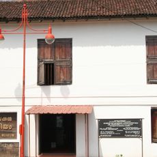
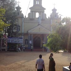
Kannur district, Administrative district in Kerala, India

Description

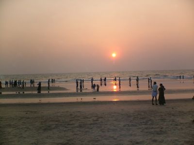
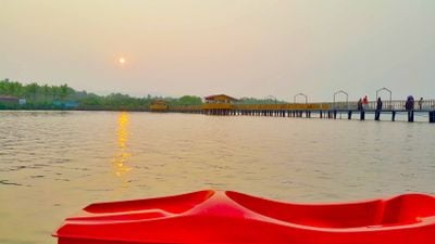
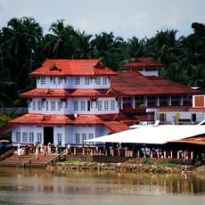
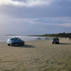
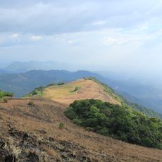
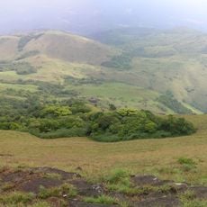
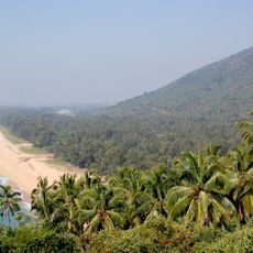
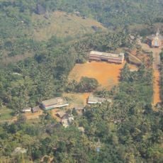
Kannur is an administrative district in Kerala, India, that stretches along the western coast from the Arabian Sea to the forested hills of the Western Ghats. The landscape includes coastal strips with fishing boats and sandy shores, as well as inland villages nestled among rice paddies and spice plantations.

History

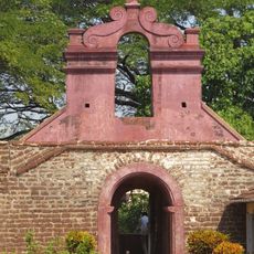
The district was formed in 1957 after the creation of Kerala state from areas that had previously been part of the Malabar district under British rule. Before colonial times, this coastline served as a trading hub for spice merchants and seafarers from the Mediterranean and East Asia.

Culture

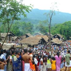
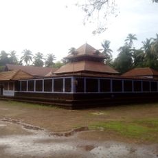
The area is known for its Theyyam performances, where dancers in elaborate costumes and masks embody local deities, and visitors can experience these ritual movements in temple courtyards. These ceremonies take place mainly between November and May and bring village communities together to watch the dancers.

Practical

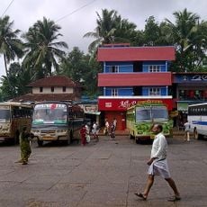
The best time to visit is between October and March, when the monsoon rains have eased and the weather is sunny and comfortable. The area is accessible by bus routes and trains that connect smaller towns with larger centers along the coast.

Did you know?

Handloom weaving has thrived here for centuries, and visitors can watch weavers work on wooden looms to produce cotton textiles in small workshops. The woven cloth is often sold directly in small shops beside the workshop spaces.

Location
Capital city
Kannur
Shares border with
Kasaragod district, Wayanad district, Kozhikode district, Kodagu district, Mahé district
GPS coordinates
11.86890,75.35546
Latest update
December 13, 2025 17:47

AroundUs brings together thousands of curated places, local tips, and hidden gems, enriched daily by 60,000 contributors worldwide. Discover all places nearby (Kerala).

« Kannur district - Administrative district in Kerala, India » is provided by Around Us (aroundus.com). Images and texts are derived from Wikimedia project under a Creative Commons license. You are allowed to copy, distribute, and modify copies of this page, under the conditions set by the license, as long as this note is clearly visible.

Discover hidden gems everywhere you go!

From secret cafés to breathtaking viewpoints, skip the crowded tourist spots and find places that match your style. Our app makes it easy with voice search, smart filtering, route optimization, and insider tips from travelers worldwide. Download now for the complete mobile experience.

Around Us App Screenshot

A unique approach to discovering new places

Le Figaro

All the places worth exploring

France Info

A tailor-made excursion in just a few clicks

20 Minutes

Around Us
Travel Guide & Maps
Download

Send to your phone

QR Code
1

Open the camera app on your mobile.

2

Point at the QR code with your camera. A notification will appear.

3

Tap the notification to open the link.