Barrackpore II community development block
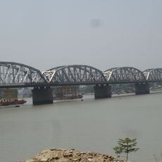
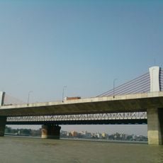
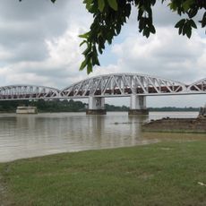
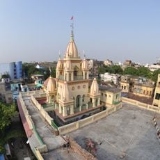
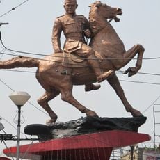
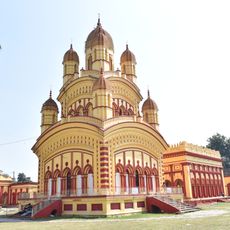
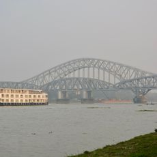
Barrackpore II community development block, community development block in West Bengal, India
Location: Barrackpore subdivision
GPS coordinates: 22.76416,88.37761
Latest update: March 7, 2025 21:30
Dakshineswar Kali Temple
12.3 km
Belur Math
14.8 km
Eco Park
20.6 km
Vivekananda Setu
12.6 km
Hooghly Imambara
16.2 km
Tala Tank
17.2 km
Nivedita Setu
12.7 km
Jubilee Bridge
16.1 km
Mother's Wax Museum
20.7 km
Star Theatre, Kolkata
18.9 km
Shobhabazar Rajbari Nathmandir
18.7 km
Chandernagore Government College
10.5 km
Baranagar Math
13.1 km
Gaudiya Mission
18 km
Subhas Chandra Bose statue
18.1 km
Kolkata Museum of Modern Art
20.6 km
Annapurna Mandir
2.1 km
St. Olav's Church, Serampore
3.7 km
Sampreeti Setu
16.1 km
Kripamayee Kali Temple
12.3 km
Uttarpara Jaikrishna Public Library
11.8 km
Girish Mancha
17.9 km
Residence of Sister Nivedita
18 km
Basri Shah Mosque
17.4 km
Armenian Church of St. John the Baptist
14.4 km
Sacred Heart Church
10.5 km
Tala Bridge
17.3 km
Dutch Cemetery
14.1 kmVisited this place? Tap the stars to rate it and share your experience / photos with the community! Try now! You can cancel it anytime.
Discover hidden gems everywhere you go!
From secret cafés to breathtaking viewpoints, skip the crowded tourist spots and find places that match your style. Our app makes it easy with voice search, smart filtering, route optimization, and insider tips from travelers worldwide. Download now for the complete mobile experience.
A unique approach to discovering new places❞
— Le Figaro
All the places worth exploring❞
— France Info
A tailor-made excursion in just a few clicks❞
— 20 Minutes