Enable Location

We need your location to show you interesting places around you

Discover nearby places

Find interesting locations and hidden gems around you

Precise directions

Get accurate directions and distances to places

Your location is never shared with other users. It's only used when you tap the location button.

Log in to your account

Start exploring — it's free

Trusted by 62,558 travelers worldwide

Continue with Google
Continue with Apple
or

We will send you a code to connect

By continuing, you accept our Terms and Conditions and our Privacy Policy

Check your inbox

We've sent a pincode in your inbox. Please enter the code below.

Canning II community development block

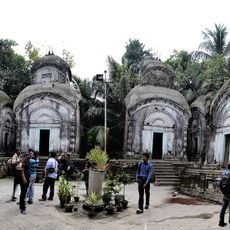
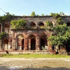
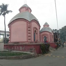
Canning II community development block, Community development block in South Twenty Four Parganas district, West Bengal, India.

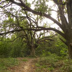
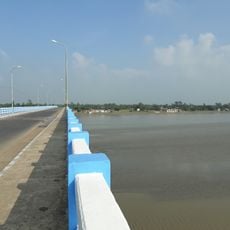
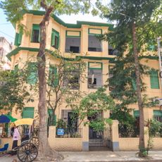
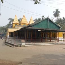
Canning II is an administrative block in the Canning subdivision comprising around 61 villages spread across rural terrain at low elevation. The landscape consists mainly of flat agricultural land interspersed with small settlements and waterways that define the local topography.

This administrative block was created as part of West Bengal's system for organizing and serving rural areas. Its formation reflected the need to unite multiple villages under a single governance structure to deliver services more effectively.

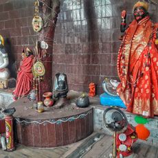
Bengali-speaking communities form the backbone of daily life here, with Hindu and Muslim residents sharing the same villages and neighborhoods. You notice this diversity in local markets, festivals, and the way people interact in shared public spaces.

The block is served by several primary and middle schools spread throughout its villages and a rural hospital providing basic medical care. Infrastructure and public services are distributed across the different settlements rather than concentrated in a single center.

The soil here is naturally saline, which shapes how farmers grow crops and requires special cultivation methods for rice and jute. Local farmers have developed specific techniques over time to manage this challenging condition and keep their fields productive.

The community of curious travelers

AroundUs brings together thousands of curated places, local tips, and hidden gems, enriched daily by 60,000 contributors worldwide.

Start exploring
Elevation above the sea
6 m
GPS coordinates
22.31399,88.66508
Latest update
December 12, 2025 07:56
« Canning II community development block - Community development block in South Twenty Four Parganas district, West Bengal, India » is provided by Around Us (aroundus.com). Images and texts are derived from Wikimedia project under a Creative Commons license. You are allowed to copy, distribute, and modify copies of this page, under the conditions set by the license, as long as this note is clearly visible.

Discover hidden gems everywhere you go!

From secret cafés to breathtaking viewpoints, skip the crowded tourist spots and find places that match your style. Our app makes it easy with voice search, smart filtering, route optimization, and insider tips from travelers worldwide. Download now for the complete mobile experience.

Around Us App Screenshot

A unique approach to discovering new places

Le Figaro

All the places worth exploring

France Info

A tailor-made excursion in just a few clicks

20 Minutes

Around Us
Travel Guide & Maps
Download

Send to your phone

QR Code
1

Open the camera app on your mobile.

2

Point at the QR code with your camera. A notification will appear.

3

Tap the notification to open the link.