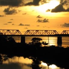
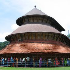
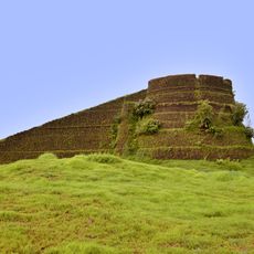
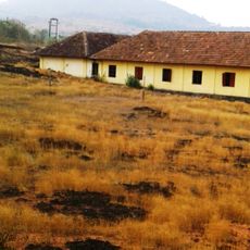
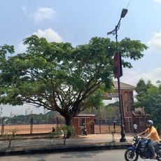
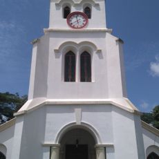
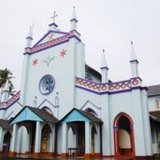
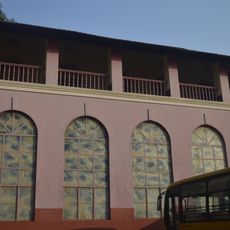
Kotekar, village in Karnataka, India
Location: Dakshina Kannada district
GPS coordinates: 12.79661,74.88731
Latest update: July 1, 2025 03:09
Ananthapura Lake Temple
25.8 km
Kadri Manjunath Temple
10.5 km
Gokarnanatheshwara Temple
10.7 km
Mangaladevi Temple
7.6 km
Polali Rajarajeshwari Temple
17 km
Karinjeshwara Temple
22.8 km
Saavira Kambada Basadi
33.1 km
Malik Dinar Mosque
36.4 km
Masjid Zeenath Baksh
9.7 km
St. Aloysius Chapel
9.7 km
Swami Vivekananda Planetarium
9.6 km
Milagres Church
9.2 km
Puttur Shree Mahalingeshwara Temple
34.2 km
Our Lady of Rosary of Mangalore
8.6 km
Kadri Park
10.9 km
Netravati Bridge
5.6 km
Shree Brahma Baidarkala Garadi Kshetra
8.2 km
Madhur
35.2 km
Arikady Fort
20.8 km
Posadigumpe
19.7 km
Srimanthi Bhai Memorial Government Museum
11 km
Nehru Maidan
9 km
St. Paul's Church, Mangalore
13.5 km
Hospet Church
26.6 km
Church of Most Holy Saviour, Agrar
22.2 km
St Theresa’s School, Bendur
9.1 km
Adoration Monastery of the Sisters of St-Clare
9.7 km
Aloyseum
7 kmReviews
Visited this place? Tap the stars to rate it and share your experience / photos with the community! Try now! You can cancel it anytime.
Discover hidden gems everywhere you go!
From secret cafés to breathtaking viewpoints, skip the crowded tourist spots and find places that match your style. Our app makes it easy with voice search, smart filtering, route optimization, and insider tips from travelers worldwide. Download now for the complete mobile experience.
A unique approach to discovering new places❞
— Le Figaro
All the places worth exploring❞
— France Info
A tailor-made excursion in just a few clicks❞
— 20 Minutes