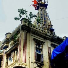
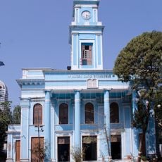
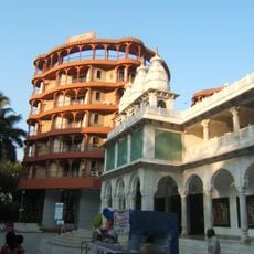
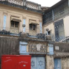
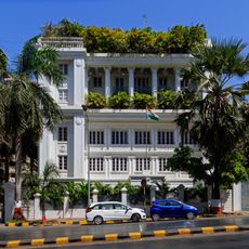
South Mumbai, Geographic region in Mumbai, India
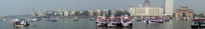
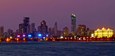
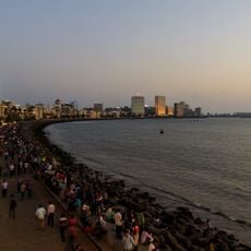
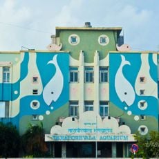
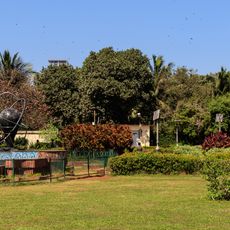
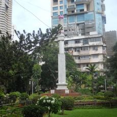
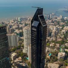
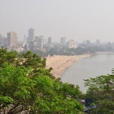
South Mumbai is the southern peninsula of the city of Mumbai, surrounded by the Arabian Sea coast and covering several districts that developed on land formed by joining former islands. From the Fort district with government buildings in the north to the residential areas along Marine Drive and farther south, this zone stretches over roughly twelve kilometers of coastline with parks, harbor facilities, and narrow lanes inland.
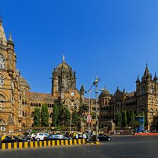
Portuguese traders first took control of the then separate islands during the 16th century, before the British Crown received the territory in 1661 and began building causeways. Between 1782 and the early 19th century, extensive landfill projects turned the island cluster into a continuous landmass where trade and colonial administration centered.
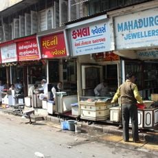
The name comes from the time when this peninsula formed the southernmost part of what were originally seven separate islands that later merged. Locals often use the term Town for the old commercial core, while referring to the residential districts by the sea that line the coastal road.
The best months to visit are November through February, when temperatures are milder and rain is rare. Many public areas such as parks and seafront promenades are suitable for walking, while main roads and railway stations can become very crowded during rush hours.
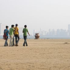
Three geological fault lines run beneath the streets, which researchers continue to monitor. Walking along the shore early in the morning, you may encounter fishermen preparing nets for the day's catch, a scene that has been part of the coastal landscape for centuries.
The community of curious travelers
AroundUs brings together thousands of curated places, local tips, and hidden gems, enriched daily by 60,000 contributors worldwide.