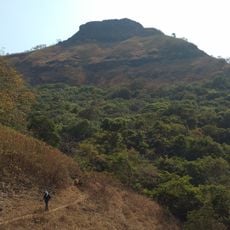
Ghangad, Military fort in Pune district, India
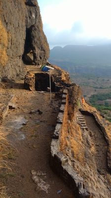
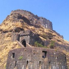
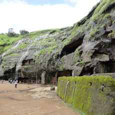
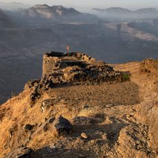
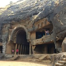
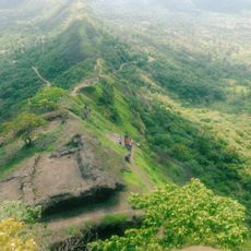
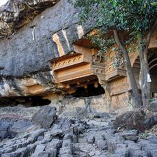
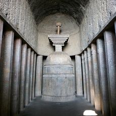
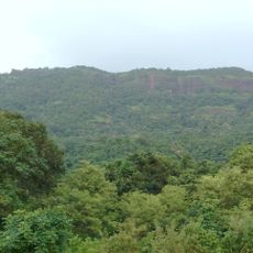
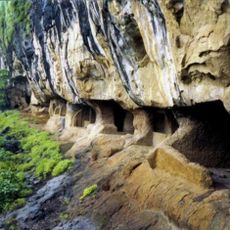
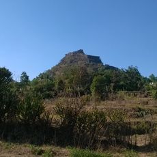
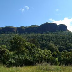
Ghangad is a fort located on the western side of the Mulshi River, rising to approximately 2565 feet (782 meters) above the surrounding area. The structure features multiple rock-cut caves and water cisterns carved into the stone, integrated throughout the site.
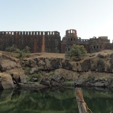
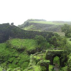
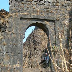
The fort was originally controlled by Koli Samant and later came under the Adil Shah dynasty before becoming part of the Maratha empire. British forces captured it in 1818 during their colonial expansion in the region.
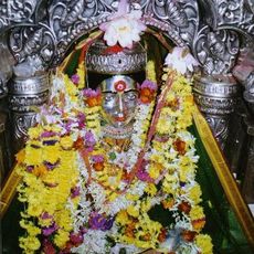
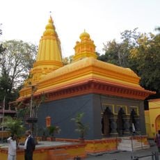
Near the entrance stands a shrine dedicated to goddess Waghjai, positioned beneath a massive rock formation with natural water sources nearby. This sacred space reflects the spiritual importance the fort holds for local communities and remains a focal point for visitors seeking connection to the site's spiritual dimensions.
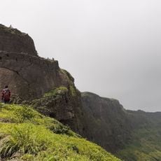
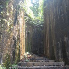
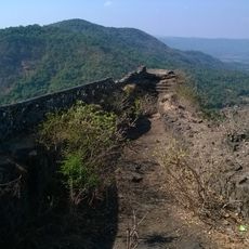
The trek begins from Ekole village and follows a wide, well-marked path through dense forest to the entrance gate. The route is straightforward and does not require special equipment, though sturdy footwear and adequate water supply are recommended for comfort.
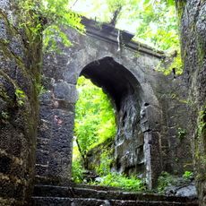
Several caves within the fort contain water year-round, revealing how the ancient inhabitants managed water supply in this elevated location. Some of these chambers now serve as shelters for visitors who camp overnight, showing the clever engineering solutions embedded in the site.
The community of curious travelers
AroundUs brings together thousands of curated places, local tips, and hidden gems, enriched daily by 60,000 contributors worldwide.