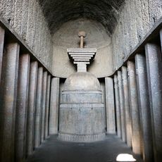
Korigad, Hill fort in Pune district, India
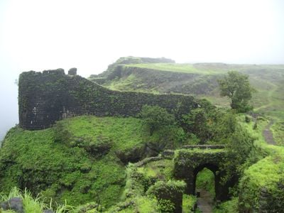
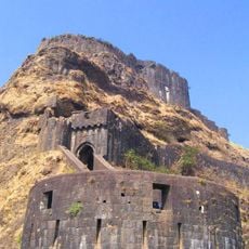
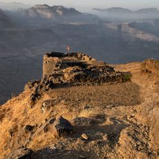
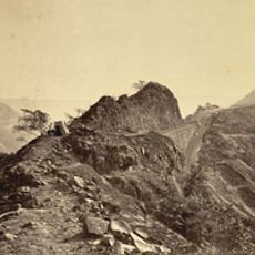
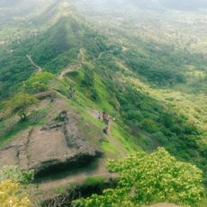
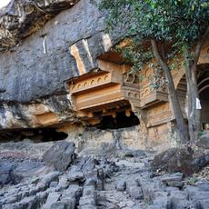
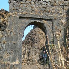
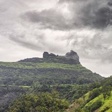
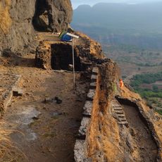
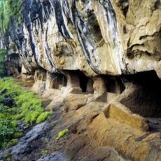
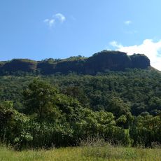
Korigad is a hill fortress standing at 923 meters above sea level in Pune district, with stone walls that run two kilometers around the summit near Lonavala. The structure includes bastions, gateways, and several buildings within the courtyard, showing the military purpose of the site during centuries of regional conflict.
The Maratha Empire gained control in 1657, using the location to monitor troops and trade routes between the western coastal ports and the Deccan plateau. British forces captured it in 1818 after a three-day siege, ending its role as an active military installation in the region.
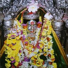
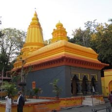
The name comes from Koraidevi, the deity honored at the main temple where visitors still come to pray and make offerings. Pilgrims walk through the grounds to visit all three sacred buildings, maintaining a tradition that has continued for generations across the region.
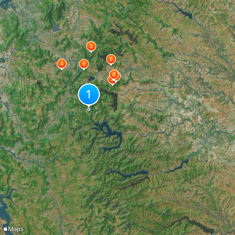
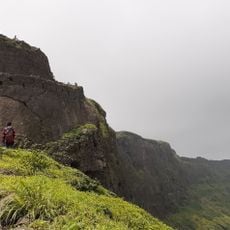
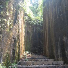
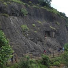
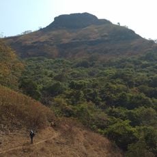
Access begins at Peth Shahpur village, where a path roughly five feet wide leads up to the entrance gate. Visitors should wear sturdy footwear and bring enough water, as the climb crosses uneven ground and takes about an hour depending on pace.
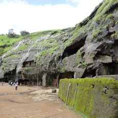
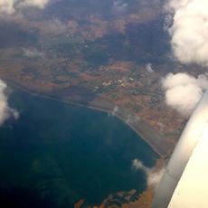
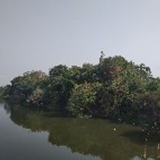
Two artificial lakes on the eastern side feed directly into the Mulshi reservoir below through natural drainage channels. This water supply originally served the garrison and still functions today using the same principle as centuries ago.
The community of curious travelers
AroundUs brings together thousands of curated places, local tips, and hidden gems, enriched daily by 60,000 contributors worldwide.