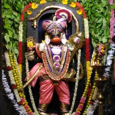
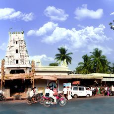
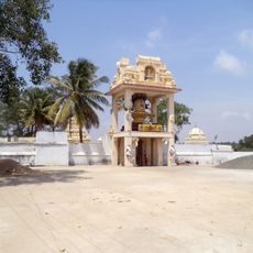
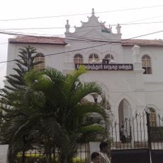
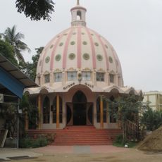
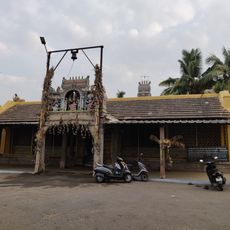
Perur Chettipalayam, Rural village panchayat in Coimbatore district, India
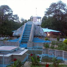
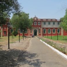
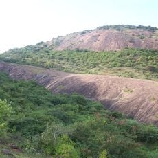
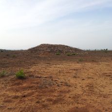
Perur Chettipalayam is a village in Coimbatore district that spans across agricultural land and settlements. It sits at an elevation of about 431 meters (1,414 feet) and covers an area of approximately 11 square kilometers.
The village name originated from its location near Perur, helping to distinguish it from other similarly named settlements across the Coimbatore region. This naming convention became established as a way to identify the area over time.
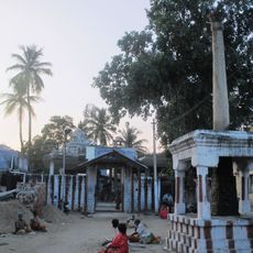
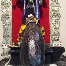
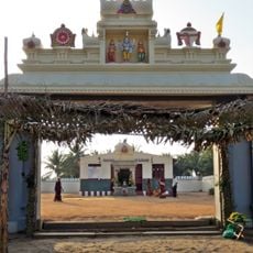
The village maintains strong agricultural traditions that shape daily life and community rhythms in the region. Weekly market gatherings on Wednesdays serve as important meeting points where local people gather to trade goods and exchange news.
The village connects to major road networks through national highways NH544 and NH150A, with regular bus services to nearby towns. These connections make it relatively accessible from surrounding areas and larger centers.
The village is actually composed of several sub-villages including Chettipalayam, Arumugam Goundanur, and Pachapalayam, each playing a role in local agricultural economy. This multi-settlement structure reflects how the area has developed and grown over time.
The community of curious travelers
AroundUs brings together thousands of curated places, local tips, and hidden gems, enriched daily by 60,000 contributors worldwide.