Amruthalur mandal, mandal in Bapatla district, Andhra Pradesh, India
Location: Bapatla district
Capital city: Amruthalur
GPS coordinates: 16.11800,80.66000
Latest update: May 7, 2025 03:35
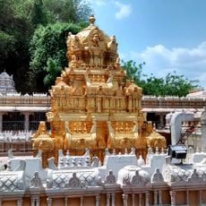
Kanaka Durga Temple
44.6 km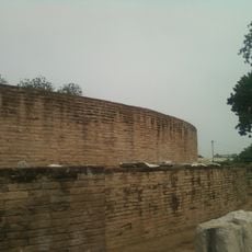
Maha Stupa at Amaravati
60.4 km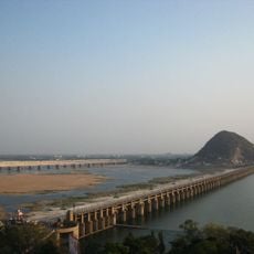
Prakasam Barrage
43.6 km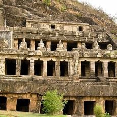
Undavalli Caves
43 km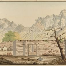
Kondaveedu Fort
45 km
Suryalanka Beach
35.6 km
Bhavani Island, Vijayawada
46.5 km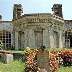
Kondapalli Fort
58.1 km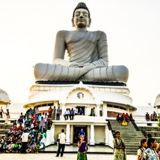
Dhyana Buddha statue
60.9 km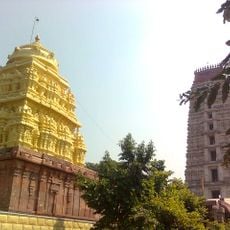
Lakshmi Narasimha Temple, Mangalagiri
36.8 km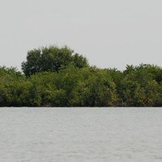
Krishna Wildlife Sanctuary
46.7 km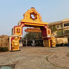
Haiiland
34.5 km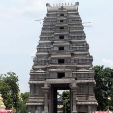
Amararama
60.7 km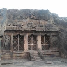
Mogalrajapuram caves
43.2 km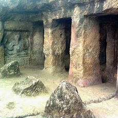
Akkanna Madanna caves
44.4 km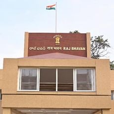
Raj Bhavan, Vijayawada
43.6 km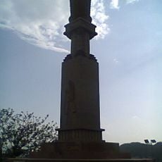
Gandhi Hill, Vijayawada
45 km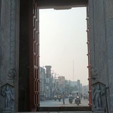
Bhavanarayana temple
31.6 km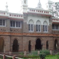
Victoria Jubilee Museum
43.5 km
Amaravati Archaeological Museum
60.2 km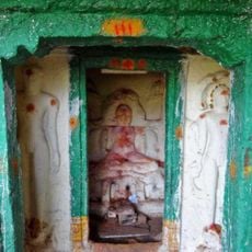
Ambapuram cave temple
50.2 km
Ramavarappadu Junction
45.2 km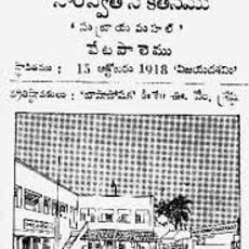
Saraswata Niketanam
53.1 km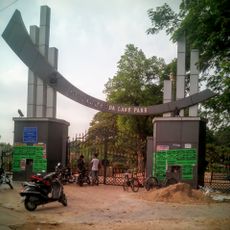
Satyanarayana UDA Lake Park
12.2 km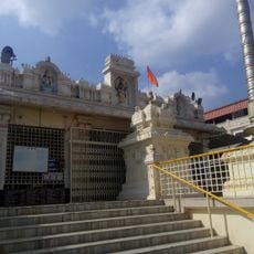
Annamayya Library
30.9 km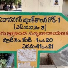
Bank Colony,Vijayawada
43.6 km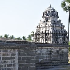
Motupalle Chola temple
59.1 km
Kotta palem
60.4 kmReviews
Visited this place? Tap the stars to rate it and share your experience / photos with the community! Try now! You can cancel it anytime.
Discover hidden gems everywhere you go!
From secret cafés to breathtaking viewpoints, skip the crowded tourist spots and find places that match your style. Our app makes it easy with voice search, smart filtering, route optimization, and insider tips from travelers worldwide. Download now for the complete mobile experience.

A unique approach to discovering new places❞
— Le Figaro
All the places worth exploring❞
— France Info
A tailor-made excursion in just a few clicks❞
— 20 Minutes